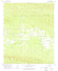
1966 Map of Muse
USGS Topo · Published 1978About this map
Kiamichi River flows through the heart of this terrain, separating the northern heights of Winding Stair Mountain from the southern Kiamichi Mountains. The map records a landscape defined by significant elevation changes, with Lenox Ridge and Robinson Ridge flanking the valley floors. Settled life centers on the communities of Muse and Lenox, where local heritage is anchored by James Chapel, Good Spring Ch, and nearby Cem sites.
Find a feature on this map
28 named features on this map. Tap any name to fly to it.
Don’t see what you’re looking for? This feature index may not catch every label — zoom into the map to look around manually.
Map Details
Editions of this 1966 Muse Map
2 editions found
Other maps of this area

1900 · Winding Stair
USGS Topo · 1:125,000

1909 · Winding Stair
USGS Topo · 1:125,000

1950 · Mcalester
USGS Topo · 1:250,000

1959 · Page
USGS Topo · 1:62,500

1959 · Heavener
USGS Topo · 1:62,500

1962 · McAlester
USGS Topo · 1:250,000

1965 · McAlester
USGS Topo · 1:250,000
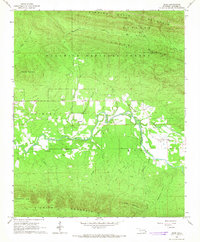
1966 · Muse
USGS Topo · 1:24,000
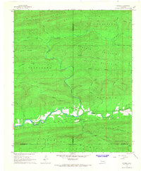
1966 · Honobia
USGS Topo · 1:24,000
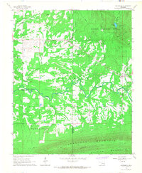
1966 · Whitesboro
USGS Topo · 1:24,000