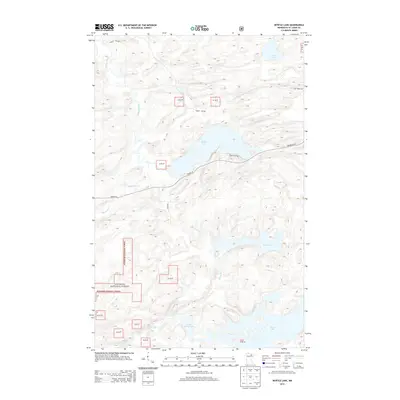
2013 Map of Myrtle Lake
USGS Topo · Published 2013About this map
Superior National Forest land dominates this section of Saint Louis County, where the hydrology of the Boundary Waters region is on full display. The Pelican River snakes through the western portion of the quadrangle, while the Elbow River connects Little Elbow Lake and Elbow Lake to the south. These waterways were essential corridors for early regional movement and remain central to the area's character.
Find a feature on this map
15 named features on this map. Tap any name to fly to it.
Don’t see what you’re looking for? This feature index may not catch every label — zoom into the map to look around manually.
Map Details
Editions of this 2013 Myrtle Lake Map
This is the sole edition of this map. No revisions or reprints were ever made.
Other maps of this area

1954 · Hibbing
USGS Topo · 1:250,000

1954 · International Falls
USGS Topo · 1:250,000

1957 · Hibbing
USGS Topo · 1:250,000

1957 · International Falls
USGS Topo · 1:250,000

1958 · International Falls
USGS Topo · 1:250,000

1958 · Hibbing
USGS Topo · 1:250,000

1964 · Hibbing
USGS Topo · 1:250,000

1964 · Haley
USGS Topo · 1:24,000

1964 · Gheen
USGS Topo · 1:24,000
1964 · Norwegian Bay
USGS Topo · 1:24,000