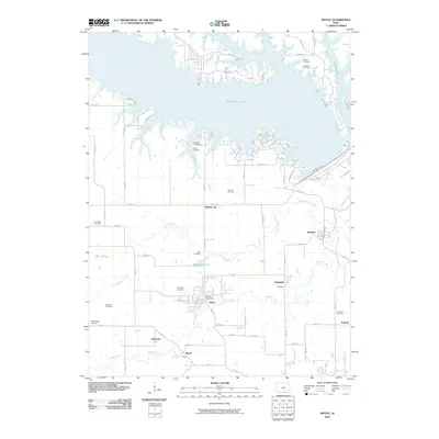
2010 Map of Mystic
USGS Topo · Published 2010About this map
Rathbun Lake dominates the northern landscape of this region, its irregular shoreline creating a complex network of points and inlets such as Honeysuckle Cir and Redwing Cir. This massive reservoir sits upstream from the Rathbun Dam, which regulates the Chariton River as it flows south toward Rathbun. The area's settlement pattern is defined by small towns and clusters like Mystic, where the Mystic Post Office serves as a central landmark, and the nearby communities of Brazil, Diamond, and Walnut City.
Find a feature on this map
61 named features on this map. Tap any name to fly to it.
Don’t see what you’re looking for? This feature index may not catch every label — zoom into the map to look around manually.
Map Details
Editions of this 2010 Mystic Map
This is the sole edition of this map. No revisions or reprints were ever made.
Other maps of this area

1935 · Russell
USGS Topo · 1:62,500

1938 · Russell
USGS Topo · 1:62,500

1939 · Centerville
USGS Topo · 1:62,500

1939 · Mystic
USGS Topo · 1:62,500

1941 · Centerville
USGS Topo · 1:62,500

1942 · Mystic
USGS Topo · 1:62,500

1942 · Seymour
USGS Topo · 1:62,500

1944 · Seymour
USGS Topo · 1:62,500

1954 · Centerville
USGS Topo · 1:250,000

1957 · Centerville
USGS Topo · 1:250,000