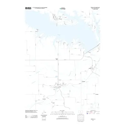
2013 Map of Mystic
USGS Topo · Published 2013About this map
Mystic serves as a focal point in this southern Iowa landscape, where the street grid of this small community remains clearly defined along the banks of Walnut Cr. The area is characterized by a series of small, historic settlements including Brazil, Diamond, and Clarkdale, which reflect the region's long-standing agricultural and local industrial roots. Water management and recreation are central themes here, dominated by the expansive Rathbun Lake in the north and the smaller Mystic Reservoir situated just north of its namesake town.
Find a feature on this map
111 named features on this map. Tap any name to fly to it.
Don’t see what you’re looking for? This feature index may not catch every label — zoom into the map to look around manually.
Map Details
Editions of this 2013 Mystic Map
This is the sole edition of this map. No revisions or reprints were ever made.
Other maps of this area

1935 · Russell
USGS Topo · 1:62,500

1938 · Russell
USGS Topo · 1:62,500

1939 · Centerville
USGS Topo · 1:62,500

1939 · Mystic
USGS Topo · 1:62,500

1941 · Centerville
USGS Topo · 1:62,500

1942 · Mystic
USGS Topo · 1:62,500

1942 · Seymour
USGS Topo · 1:62,500

1944 · Seymour
USGS Topo · 1:62,500

1954 · Centerville
USGS Topo · 1:250,000

1957 · Centerville
USGS Topo · 1:250,000