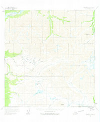
1960 Map of Nabesna A-2
USGS Topo · Published 1975About this map
Chisana River headwaters dominate the northern landscape of this remote subarctic region, where alpine terrain is carved by active ice and seasonal meltwater. The 1960 field survey reveals a wilderness defined by glacial movement and mining-related topography, most notably around Gold Hill and the surrounding drainage basins of Big Eldorado Creek and Bonanza Creek. High-elevation landmarks like Needle Peak and Funshoot Mountain tower over a network of primitive access routes, including a Tractor Trail and the Simons Trail, which provided essential links for early prospecting and travel.
Find a feature on this map
48 named features on this map. Tap any name to fly to it.
Don’t see what you’re looking for? This feature index may not catch every label — zoom into the map to look around manually.
Map Details
Editions of this 1960 Nabesna A-2 Map
2 editions found
Other maps of this area

1950 · Nabesna
USGS Topo · 1:250,000

1951 · McCarthy
USGS Topo · 1:250,000

1951 · Nabesna
USGS Topo · 1:250,000

1959 · McCarthy D-3
USGS Topo · 1:63,360

1959 · McCarthy D-2
USGS Topo · 1:63,360

1959 · Nabesna A-1
USGS Topo · 1:63,360

1960 · Nabesna A-3
USGS Topo · 1:63,360

1960 · Nabesna A-2
USGS Topo · 1:63,360

1960 · Nabesna B-2
USGS Topo · 1:63,360

1960 · Nabesna
USGS Topo · 1:250,000