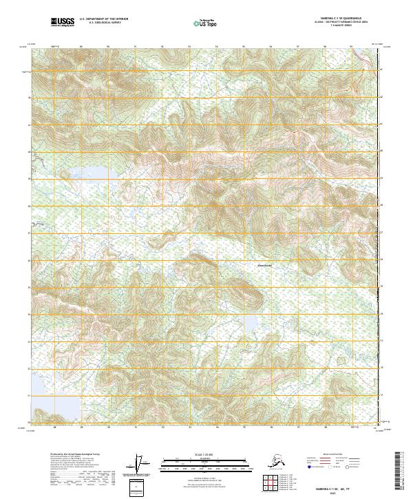
2023 Map of Nabesna C-1 SE
USGS Topo · Published 2023About this map
Alcan Border serves as a critical point of entry along the international boundary between the United States of America and Canada. This high-latitude landscape is defined by the extensive wetlands and protected acreage of the Tetlin National Wildlife Refuge, which spans a significant portion of the quadrangle. The terrain is punctuated by Airs Hill and Airs Hill Tri, providing elevated perspective over the surrounding low-lying marshes and the winding path of Mirror Creek.
Find a feature on this map
14 named features on this map. Tap any name to fly to it.
Don’t see what you’re looking for? This feature index may not catch every label — zoom into the map to look around manually.
Map Details
Editions of this 2023 Nabesna C-1 SE Map
This is the sole edition of this map. No revisions or reprints were ever made.
Other maps of this area

1950 · Nabesna
USGS Topo · 1:250,000

1951 · Nabesna
USGS Topo · 1:250,000

1955 · Nabesna C-1
USGS Topo · 1:63,360

1960 · Nabesna
USGS Topo · 1:250,000

1960 · Nabesna B-1
USGS Topo · 1:63,360
2013 · Nabesna C-1 NE
USGS Topo · 1:25,000
2016 · Nabesna B-1 NE
USGS Topo · 1:25,000
2016 · Nabesna C-1 NW
USGS Topo · 1:25,000
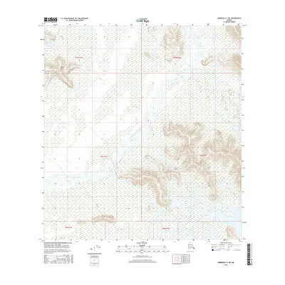
2016 · Nabesna C-1 SW
USGS Topo · 1:25,000
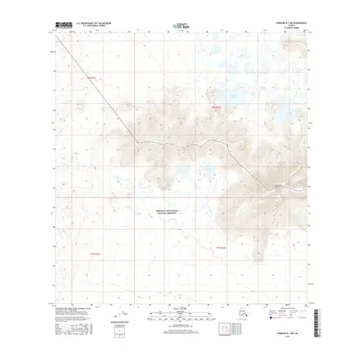
2016 · Nabesna B-1 NW
USGS Topo · 1:25,000