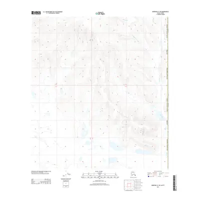
2013 Map of Nabesna D-1 NE
USGS Topo · Published 2013About this map
The international border between the United States and Canada bisects this remote subarctic landscape in the Southeast Fairbanks census area. This terrain is defined by the winding drainages of the Yellow Water Creek system, which flows through a network of small lakes and wetlands in the lower elevations. The map reveals the intricate natural topography where McArthur Creek and Scottie Creek navigate the high-latitude wilderness of eastern Alaska. Researchers of northern geography will find this a clear record of the watershed patterns and public land survey boundaries, including Township 14 North and Range 23 East, along the edge of the Yukon territory.
Find a feature on this map
10 named features on this map. Tap any name to fly to it.
Don’t see what you’re looking for? This feature index may not catch every label — zoom into the map to look around manually.
Map Details
Editions of this 2013 Nabesna D-1 NE Map
This is the sole edition of this map. No revisions or reprints were ever made.
Other maps of this area

1949 · Tanacross
USGS Topo · 1:250,000

1950 · Tanacross
USGS Topo · 1:250,000

1950 · Nabesna
USGS Topo · 1:250,000

1951 · Nabesna
USGS Topo · 1:250,000

1952 · Nabesna D-1
USGS Topo · 1:63,360

1952 · Tanacross A-1
USGS Topo · 1:63,360

1956 · Tanacross
USGS Topo · 1:250,000

1960 · Nabesna
USGS Topo · 1:250,000

1964 · Tanacross
USGS Topo · 1:250,000
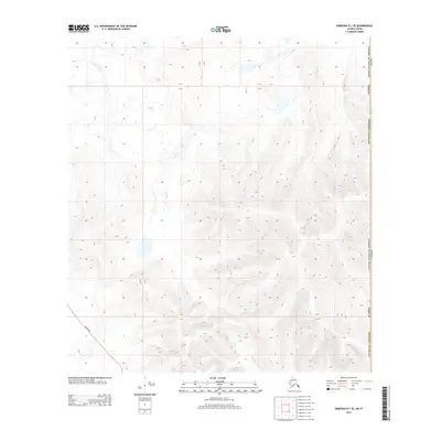
2013 · Nabesna D-1 SE
USGS Topo · 1:25,000