
1956 Map of Tanacross
USGS Topo · Published 1968About this map
Tanacross and the surrounding wilderness of the Tanana River valley appear in this survey as a critical crossroads of the mid-20th-century interior. The map documents a significant stretch of the Alaska Highway as it intersects with the Taylor Highway at Tetlin Junction and the Glenn Highway at Tok. These corridors follow the older tracks of the Eagle Trail and various winter trails, highlighting the evolution of transport from dog sleds and riverboats to the automotive age.
Find a feature on this map
84 named features on this map. Tap any name to fly to it.
Don’t see what you’re looking for? This feature index may not catch every label — zoom into the map to look around manually.
Map Details
Editions of this 1956 Tanacross Map
5 editions found
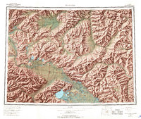
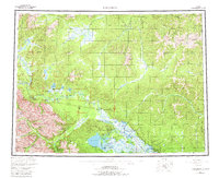
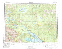
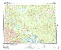
Other maps of this area

1899 · Fortymile
USGS Topo · 1:250,000

1948 · Tanacross B-5
USGS Topo · 1:63,360

1948 · Tanacross A-6
USGS Topo · 1:63,360

1948 · Tanacross A-3
USGS Topo · 1:63,360

1948 · Tanacross A-4
USGS Topo · 1:63,360

1948 · Nabesna D-5
USGS Topo · 1:63,360

1948 · Tanacross A-5
USGS Topo · 1:63,360

1948 · Tanacross B-3
USGS Topo · 1:63,360

1949 · Tanacross
USGS Topo · 1:250,000

1949 · Tanacross B-4
USGS Topo · 1:63,360