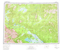
1956 Map of Tanacross
USGS Topo · Published 1981About this map
Tanacross and Tok serve as the primary hubs in this remote Alaskan corridor where the Alaska Highway meets the Taylor Highway at Tetlin Junction. The landscape is dominated by the sprawling Tanana River system and its complex of wetlands, including the Mosquito Flats and the Tetlin National Wildlife Refuge. This survey captures the region as its road network began to solidify the connection between the interior and the Alaska Yukon border, while older routes like the Eagle Trail and Winter Trail remain visible.
Find a feature on this map
115 named features on this map. Tap any name to fly to it.
Don’t see what you’re looking for? This feature index may not catch every label — zoom into the map to look around manually.
Map Details
Editions of this 1956 Tanacross Map
5 editions found

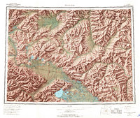
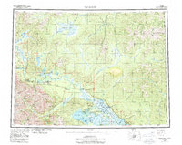
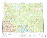
Other maps of this area

1899 · Fortymile
USGS Topo · 1:250,000

1948 · Tanacross B-5
USGS Topo · 1:63,360

1948 · Tanacross A-6
USGS Topo · 1:63,360

1948 · Tanacross A-3
USGS Topo · 1:63,360

1948 · Tanacross A-4
USGS Topo · 1:63,360

1948 · Nabesna D-5
USGS Topo · 1:63,360

1948 · Tanacross A-5
USGS Topo · 1:63,360

1948 · Tanacross B-3
USGS Topo · 1:63,360

1949 · Tanacross
USGS Topo · 1:250,000

1949 · Tanacross B-4
USGS Topo · 1:63,360