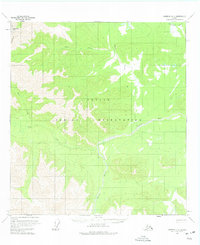
1960 Map of Nabesna D-4
USGS Topo · Published 1975About this map
The Tetlin Indian Reservation dominates the landscape of this 1960 survey, showcasing the complex river systems of interior Alaska. The Tetlin River meanders through the central valley, flanked by a network of drainage systems including Moose Creek, Bear Creek, and the curiously named Mice Creek. A solitary Landing Strip near the river indicates the vital role of bush aviation in accessing this roadless region during the mid-20th century.
Find a feature on this map
9 named features on this map. Tap any name to fly to it.
Don’t see what you’re looking for? This feature index may not catch every label — zoom into the map to look around manually.
Map Details
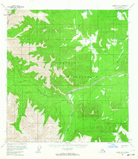
Editions of this 1960 Nabesna D-4 Map
2 editions found
Other maps of this area

1948 · Tanacross A-3
USGS Topo · 1:63,360

1948 · Tanacross A-4
USGS Topo · 1:63,360

1948 · Nabesna D-5
USGS Topo · 1:63,360

1948 · Tanacross A-5
USGS Topo · 1:63,360

1949 · Tanacross
USGS Topo · 1:250,000

1949 · Tanacross A-5
USGS Topo · 1:63,360

1950 · Tanacross
USGS Topo · 1:250,000

1950 · Nabesna
USGS Topo · 1:250,000

1950 · Nabesna D-5
USGS Topo · 1:63,360

1951 · Nabesna
USGS Topo · 1:250,000