
1947 Map of Naguabo NE
USGS Topo · Published 1947About this map
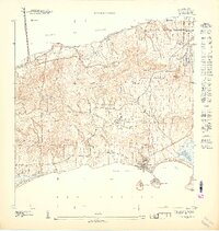
Ceiba and the surrounding coastal landscape of eastern Puerto Rico appear here just after the second World War, as the region's agricultural past and emerging military significance intersect. The narrow-gauge rail lines of the Fajardo Development Company snake through the lowlands, serving the sugar industry's needs near Colonia Aguas Claras and Daguao. This industrial network contrasts with the expansive Naval Reservation that dominates the shoreline along Ensenada Honda. The interior transitions from the tidal influence of the Rio Daguao to the steep, densely contoured foothills where the Quebrada Seca and Quebrada Ceiba originate. Genealogists may note the location of the local Cem near the village center, while the presence of a Mound near the coast and Puerto Medio Mundo indicates landmarks of earlier eras preserved on the coastal plain.
Find a feature on this map
17 named features on this map. Tap any name to fly to it.
Don’t see what you’re looking for? This feature index may not catch every label — zoom into the map to look around manually.
Map Details
Editions of this 1947 Naguabo NE Map
11 editions found
1947 edition
30.75 x 31.6 inches
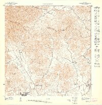
1947 edition
30.8 x 31.66 inches
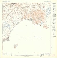
1947 edition
30.72 x 31.62 inches
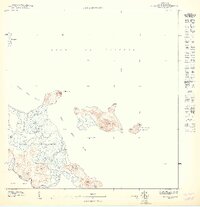
1947 edition
30.59 x 31.72 inches
1947 edition
33.09 x 15.16 inches
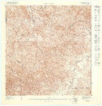
1948 edition
31.04 x 32.09 inches
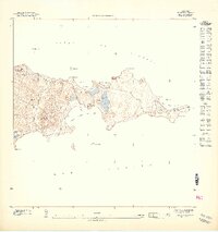
1948 edition
31.53 x 33.65 inches
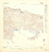
1948 edition
31.85 x 33.63 inches
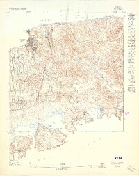
1948 edition
31.72 x 40.19 inches
1948 edition
31.88 x 33.66 inches
1948 edition
32.02 x 63.15 inches
Other maps of this area

1946 · Punta Puerca
USGS Topo · 1:30,000

1946 · Naguabo
USGS Topo · 1:30,000

1946 · Fajardo
USGS Topo · 1:30,000

1952 · Punta Puerca
USGS Topo · 1:30,000
1952 · Naguabo
USGS Topo · 1:30,000
1952 · Fajardo
USGS Topo · 1:30,000
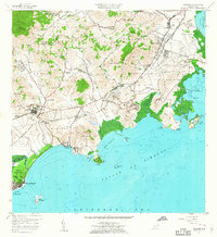
1957 · Naguabo
USGS Topo · 1:20,000
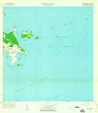
1957 · Punta Puerca
USGS Topo · 1:20,000
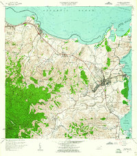
1958 · Fajardo
USGS Topo · 1:20,000
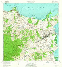
1962 · Fajardo
USGS Topo · 1:20,000