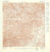
1947 Map of Fajardo SO
USGS Topo · Published 1948About this map
Río Fajardo winds through the southeastern reaches of this terrain, anchoring a landscape defined by the sharp convergence of municipal boundaries and the steep tropical drainages of the Luquillo Range. Developed based on 1943 topography, the map reveals the agrarian footprint of the mid-1940s, most notably at the Colonia Paraiso settlement near the riverbanks. The intricate network of waterways, including Río Sabana and Río Cristal, illustrates the complex hydrology that dictated early transportation and land use in this part of Puerto Rico.
Find a feature on this map
11 named features on this map. Tap any name to fly to it.
Don’t see what you’re looking for? This feature index may not catch every label — zoom into the map to look around manually.
Map Details
Editions of this 1947 Fajardo SO Map
11 editions found

1947 edition
30.75 x 31.6 inches
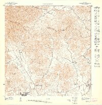
1947 edition
30.8 x 31.66 inches
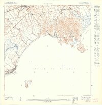
1947 edition
30.72 x 31.62 inches
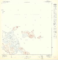
1947 edition
30.59 x 31.72 inches
1947 edition
33.09 x 15.16 inches
1948 edition
31.04 x 32.09 inches
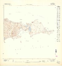
1948 edition
31.53 x 33.65 inches
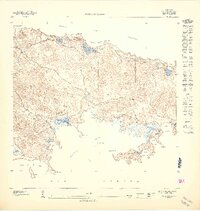
1948 edition
31.85 x 33.63 inches
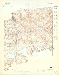
1948 edition
31.72 x 40.19 inches
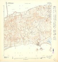
1948 edition
31.88 x 33.66 inches
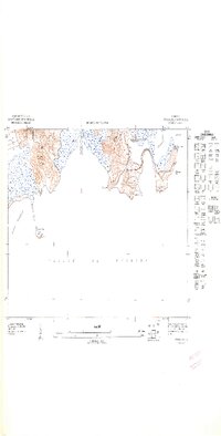
1948 edition
32.02 x 63.15 inches
Other maps of this area

1945 · El Yunque
USGS Topo · 1:30,000

1946 · El Yunque
USGS Topo · 1:30,000

1946 · Naguabo
USGS Topo · 1:30,000

1946 · Fajardo
USGS Topo · 1:30,000

1947 · El Yunque NE
USGS Topo · 1:10,000

1947 · El Yunque SE
USGS Topo · 1:10,000
1947 · Naguabo NE
USGS Topo · 1:10,000

1947 · Fajardo NE
USGS Topo · 1:10,000
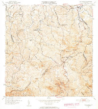
1952 · El Yunque
USGS Topo · 1:30,000
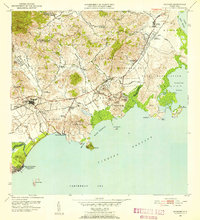
1952 · Naguabo
USGS Topo · 1:30,000