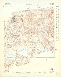
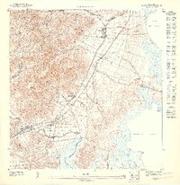
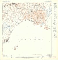
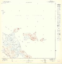
1947 Map of Isla De Vieques 3
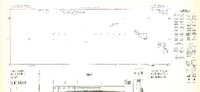
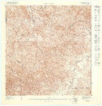
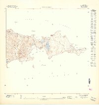
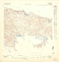
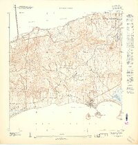
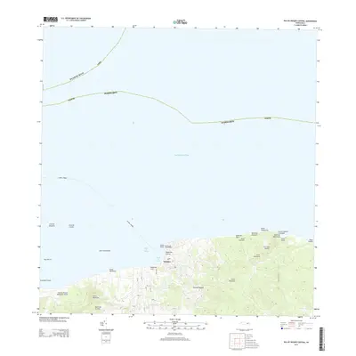
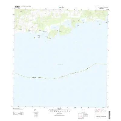
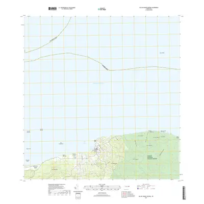
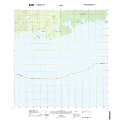
USGS Topo · Published 1948This historical map portrays the area of Isla De Vieques 3 in 1947, primarily covering Isabel Segunda as well as portions of Bravos de Boston and Monte Carmelo. Featuring a scale of 1:10,000, this map provides a highly detailed snapshot of the terrain, roads, buildings, counties, and historical landmarks in the Isla De Vieques 3 region at the time. Published in 1948, it is one of 11 known editions of this map due to revisions or reprints.
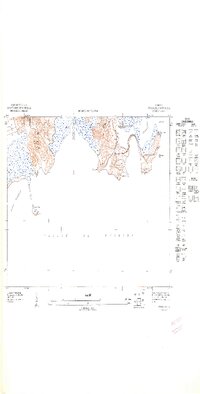
Map Details
Editions of this 1947 Isla De Vieques 3 Map
11 editions found
1947 edition
30.75 x 31.6 inches

1947 edition
30.8 x 31.66 inches
1947 edition
30.72 x 31.62 inches
1947 edition
30.59 x 31.72 inches
1947 edition
33.09 x 15.16 inches
1948 edition
31.04 x 32.09 inches
1948 edition
31.53 x 33.65 inches
1948 edition
31.85 x 33.63 inches
1948 edition
31.72 x 40.19 inches
1948 edition
31.88 x 33.66 inches
1948 edition
32.02 x 63.15 inches
Other maps of this area
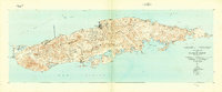
1943 · Island Of Vieques
USGS Topo · 1:30,000
1951 · Island Of Vieques
USGS Topo · 1:30,000
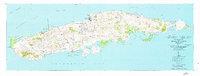
2013 · Isla De Vieques Central
USGS Topo · 1:20,000
2013 · Isla De Vieques Central OE S
USGS Topo · 1:20,000
2018 · Isla De Vieques Central
USGS Topo · 1:20,000
2018 · Isla De Vieques Central OE S
USGS Topo · 1:20,000
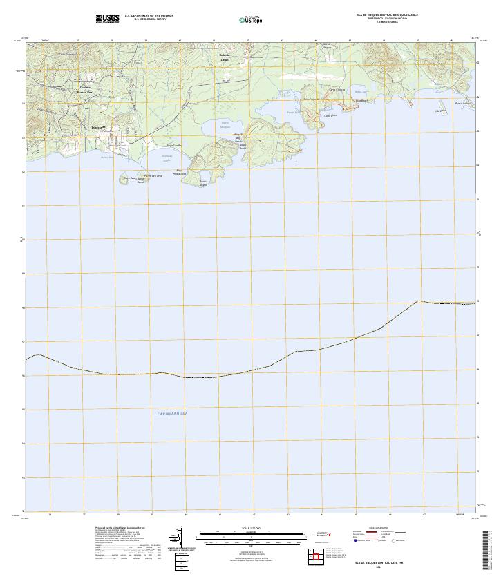
2024 · Isla De Vieques Central OE S
USGS Topo · 1:20,000
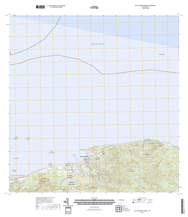
2024 · Isla De Vieques Central
USGS Topo · 1:20,000
Featured Places
- Isabel Segunda, Vieques
- Bravos de Boston, Vieques
- Monte Carmelo, Vieques
- Isabel II, Vieques
- Puerto Ferro, Vieques