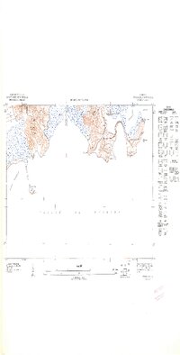
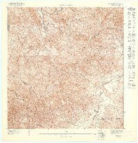
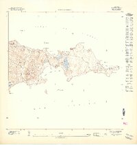
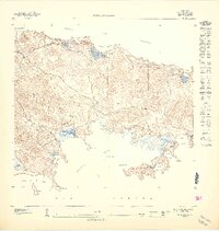
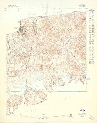
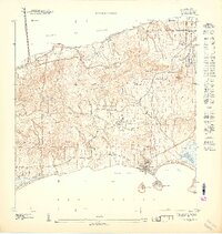
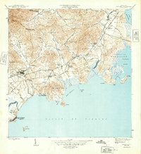
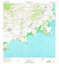
1947 Map of Naguabo SE
USGS Topo · Published 1948About this map
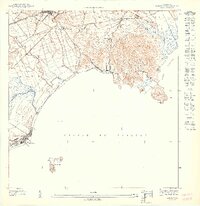
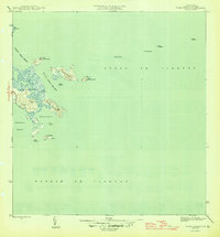
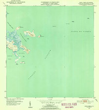
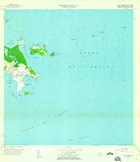
Bahia Algodones and the southern coastline of eastern Puerto Rico are captured in this 1943 topographical study, documenting a landscape at the edge of the Pasaje de Vieques. The map reveals a rugged shoreline defined by points and inlets, including Pta Algodones and the sandy stretch of Playa Blanca. Offshore, the isolated outcrop of Cayo Algodones and the feature marked Don stand in the open water, while the municipal boundary between Municipio de Naguabo and Municipio de Ceiba cuts through the coastal hills. This preliminary edition, issued under Jorge J. Jiménez, focuses heavily on the natural relief and maritime approaches before significant modern development altered the littoral zone. It provides a clear record of the area's physical geography, from the heights of Pta Cascajo to the tidal flats of the bay.
Find a feature on this map
8 named features on this map. Tap any name to fly to it.
Don’t see what you’re looking for? This feature index may not catch every label — zoom into the map to look around manually.
Map Details
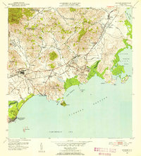
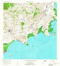
Editions of this 1947 Naguabo SE Map
11 editions found
1947 edition
30.75 x 31.6 inches

1947 edition
30.8 x 31.66 inches
1947 edition
30.72 x 31.62 inches
1947 edition
30.59 x 31.72 inches
1947 edition
33.09 x 15.16 inches
1948 edition
31.04 x 32.09 inches
1948 edition
31.53 x 33.65 inches
1948 edition
31.85 x 33.63 inches
1948 edition
31.72 x 40.19 inches
1948 edition
31.88 x 33.66 inches
1948 edition
32.02 x 63.15 inches
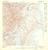
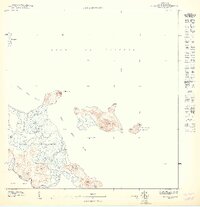
Other maps of this area
1946 · Punta Puerca
USGS Topo · 1:30,000
1946 · Naguabo
USGS Topo · 1:30,000
1947 · Naguabo NE
USGS Topo · 1:10,000
1952 · Punta Puerca
USGS Topo · 1:30,000
1952 · Naguabo
USGS Topo · 1:30,000
1957 · Naguabo
USGS Topo · 1:20,000
1957 · Punta Puerca
USGS Topo · 1:20,000
1967 · Naguabo
USGS Topo · 1:20,000
2013 · Naguabo
USGS Topo · 1:20,000
2013 · Isla De Vieques West
USGS Topo · 1:20,000