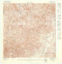
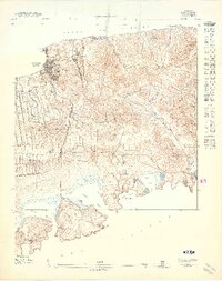
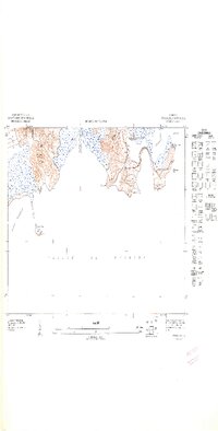
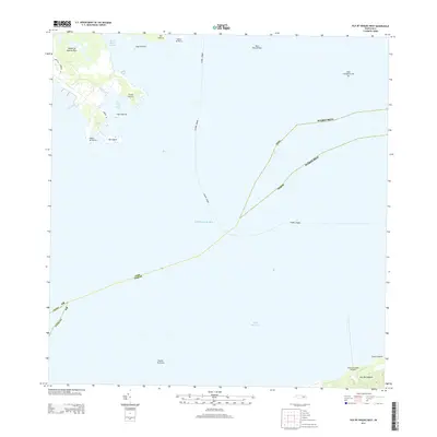
1947 Map of Isla De Vieques 4
USGS Topo · Published 1948About this map
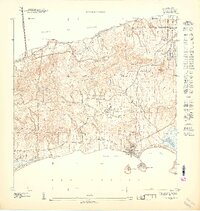
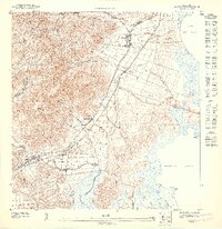
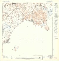
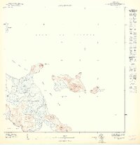
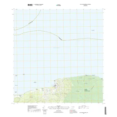
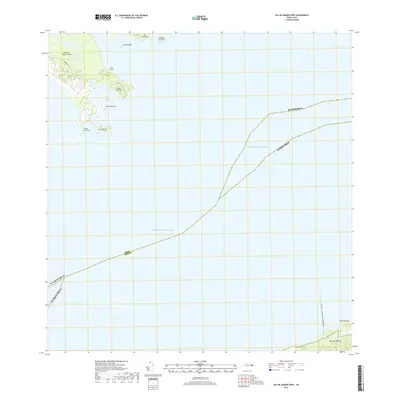
Coastal agricultural and residential patterns define the southern reaches of Vieques during the mid-1940s. The settlement of Esperanza and the neighboring Puerto Real anchor the southern coast, where the landscape transitions from the heights of Cerro Martineau and Cerro Sonadora down toward the Caribbean shoreline. This preliminary survey, produced by the Gobierno de Puerto Rico, captures a period of transition with inland sites like Colonia Puerto Real and the housing development at Proyecto Barracon appearing alongside established landmarks.
Find a feature on this map
24 named features on this map. Tap any name to fly to it.
Don’t see what you’re looking for? This feature index may not catch every label — zoom into the map to look around manually.
Map Details
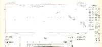
Editions of this 1947 Isla De Vieques 4 Map
11 editions found
1947 edition
30.75 x 31.6 inches

1947 edition
30.8 x 31.66 inches
1947 edition
30.72 x 31.62 inches
1947 edition
30.59 x 31.72 inches
1947 edition
33.09 x 15.16 inches
1948 edition
31.04 x 32.09 inches
1948 edition
31.53 x 33.65 inches
1948 edition
31.85 x 33.63 inches
1948 edition
31.72 x 40.19 inches
1948 edition
31.88 x 33.66 inches
1948 edition
32.02 x 63.15 inches
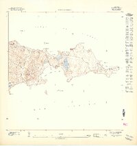
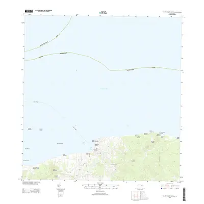
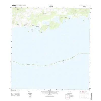
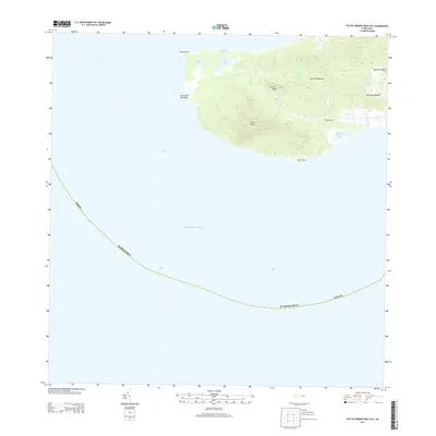
Other maps of this area
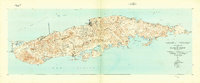
1943 · Island Of Vieques
USGS Topo · 1:30,000
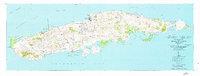
1951 · Island Of Vieques
USGS Topo · 1:30,000
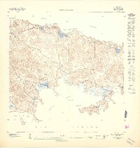
2013 · Isla De Vieques West
USGS Topo · 1:20,000
2013 · Isla De Vieques Central
USGS Topo · 1:20,000
2013 · Isla De Vieques Central OE S
USGS Topo · 1:20,000
2013 · Isla De Vieques West OE S
USGS Topo · 1:20,000
2018 · Isla De Vieques Central
USGS Topo · 1:20,000
2018 · Isla De Vieques West
USGS Topo · 1:20,000
2018 · Isla De Vieques West OE S
USGS Topo · 1:20,000
2018 · Isla De Vieques Central OE S
USGS Topo · 1:20,000
Featured Places
- El Pilón, Vieques
- Quintas de Santa Elena, Vieques
- La Hueca, Vieques
- Estancias de Isla Nena, Vieques
- Mosquito, Vieques