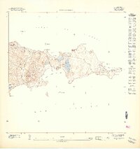
1947 Map of Isla De Vieques 1
USGS Topo · Published 1948About this map
The eastern tip of Vieques Island appears here during a period of significant military and geological interest, shortly after the 1943 topographic survey. This detailed 1:10,000 scale rendering focuses on the distinctive coastal geography of the Punta Este peninsula, where the Atlantic waters of the Sonda de Vieques meet the Mar Caribe. The landscape is defined by its inland lagoons, such as Laguna Anones and Laguna Matías, which suggest a complex brackish ecosystem separated from the sea by narrow strips of land.
Find a feature on this map
22 named features on this map. Tap any name to fly to it.
Don’t see what you’re looking for? This feature index may not catch every label — zoom into the map to look around manually.
Map Details
Editions of this 1947 Isla De Vieques 1 Map
11 editions found

1947 edition
30.75 x 31.6 inches
1947 edition
30.8 x 31.66 inches
1947 edition
30.72 x 31.62 inches
1947 edition
30.59 x 31.72 inches
1947 edition
33.09 x 15.16 inches
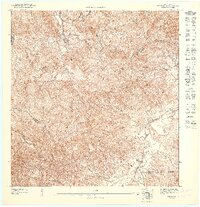
1948 edition
31.04 x 32.09 inches
1948 edition
31.53 x 33.65 inches
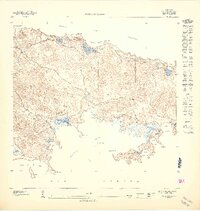
1948 edition
31.85 x 33.63 inches
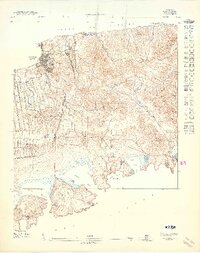
1948 edition
31.72 x 40.19 inches
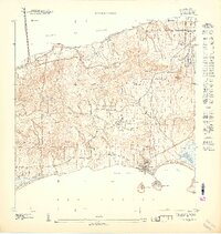
1948 edition
31.88 x 33.66 inches
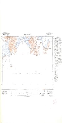
1948 edition
32.02 x 63.15 inches
Other maps of this area

1943 · Island Of Vieques
USGS Topo · 1:30,000

1951 · Island Of Vieques
USGS Topo · 1:30,000
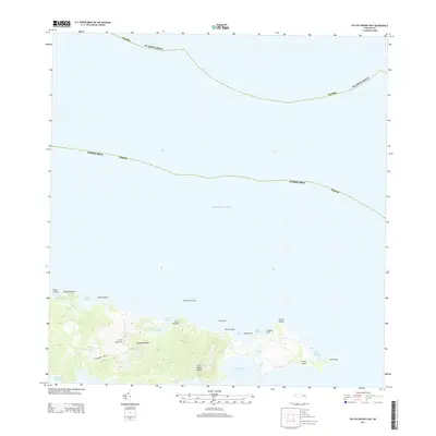
2013 · Isla De Vieques East
USGS Topo · 1:20,000
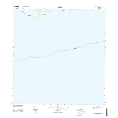
2013 · Isla De Vieques East OE S
USGS Topo · 1:20,000
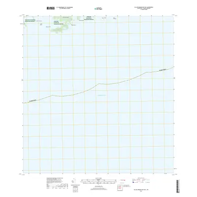
2018 · Isla De Vieques East OE S
USGS Topo · 1:20,000
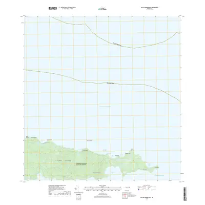
2018 · Isla De Vieques East
USGS Topo · 1:20,000
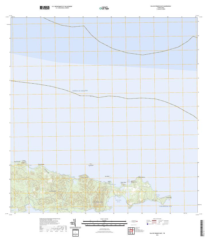
2024 · Isla De Vieques East
USGS Topo · 1:20,000
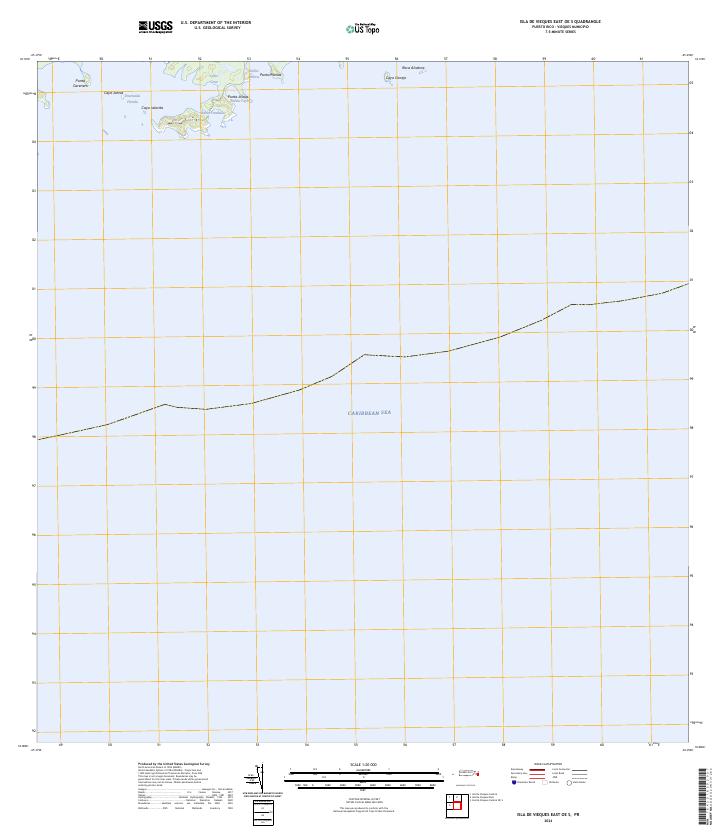
2024 · Isla De Vieques East OE S
USGS Topo · 1:20,000