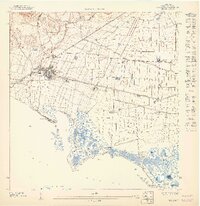
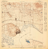
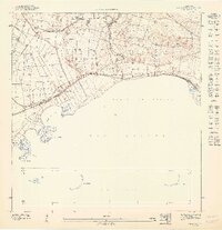
1947 Map of Salinas SE
USGS Topo · Published 1947About this map
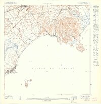
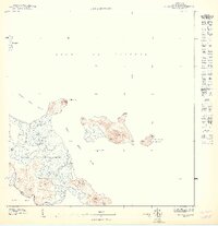
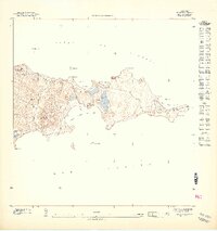
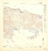
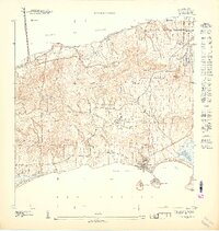
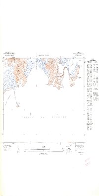
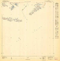
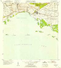
The coastal waters of the Mar Caribe define this 1940s maritime study, documenting the southern edge of the Salinas region. The map focuses on the navigational hazards and landmarks of the shoreline, most notably the Faro (lighthouse) situated on the western edge of the island chain. This preliminary survey emphasizes the intricate archipelago of the Cayos de Ratones and the southern cluster of the Cayos de Barca, providing a precise record of these landforms before modern coastal development or environmental changes significantly altered their profiles. Smaller features like Cayo Morillo and the Cayos de Pájaros are positioned with specific coordinates, likely serving as reference points for local sailors or hydrographic researchers during the early 1940s.
Find a feature on this map
8 named features on this map. Tap any name to fly to it.
Don’t see what you’re looking for? This feature index may not catch every label — zoom into the map to look around manually.
Map Details
Editions of this 1947 Salinas SE Map
11 editions found
1947 edition
30.75 x 31.6 inches

1947 edition
30.8 x 31.66 inches
1947 edition
30.72 x 31.62 inches
1947 edition
30.59 x 31.72 inches
1947 edition
33.09 x 15.16 inches
1948 edition
31.04 x 32.09 inches
1948 edition
31.53 x 33.65 inches
1948 edition
31.85 x 33.63 inches
1948 edition
31.72 x 40.19 inches
1948 edition
31.88 x 33.66 inches
1948 edition
32.02 x 63.15 inches
Other maps of this area
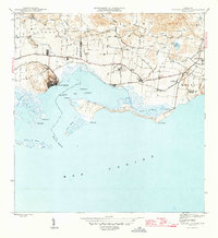
1945 · Central Aguirre
USGS Topo · 1:30,000
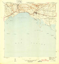
1945 · Salinas
USGS Topo · 1:30,000
1947 · Salinas NE
USGS Topo · 1:10,000
1947 · Central Aquirre SO
USGS Topo · 1:10,000
1947 · Central Aquirre NO
USGS Topo · 1:10,000
1947 · Salinas NO
USGS Topo · 1:10,000
1952 · Salinas
USGS Topo · 1:30,000
1952 · Central Aguirre
USGS Topo · 1:30,000
1960 · Salinas
USGS Topo · 1:20,000
1960 · Central Aguirre
USGS Topo · 1:20,000