
1947 Map of Naguabo NO
USGS Topo · Published 1947About this map
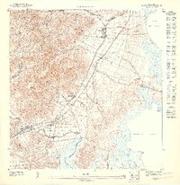
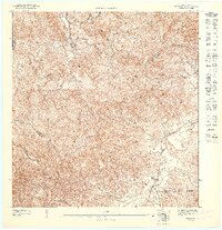
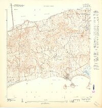
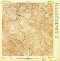
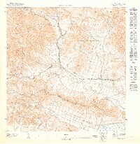
The town of Naguabo anchors this topographic study, where the coastal plains meet the steep northern ridges of the Cuchilla Duque. The landscape is dominated by agricultural colonies and estates, reflecting the sugar-driven economy of the mid-20th century. Prominent holdings like Colonia San Cristóbal, Hacienda Grande, and Colonia Esperanza are mapped alongside a complex network of waterways, including the Río Santiago and Río Blanco. This 1947 edition was prepared as a preliminary map by the Gobierno de Puerto Rico Department of the Interior under Jorge J. Jiménez. It captures the transition from mountain streams like Quebrada Senadora to the lower valley settlements such as Tablones, providing a detailed look at the infrastructure of the era including the Linea de Transmision and various rural caminos.
Find a feature on this map
23 named features on this map. Tap any name to fly to it.
Don’t see what you’re looking for? This feature index may not catch every label — zoom into the map to look around manually.
Map Details
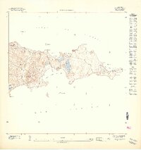
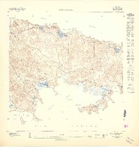
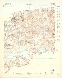
Editions of this 1947 Naguabo NO Map
11 editions found
1947 edition
30.75 x 31.6 inches
1947 edition
30.8 x 31.66 inches
1947 edition
30.72 x 31.62 inches
1947 edition
30.59 x 31.72 inches
1947 edition
33.09 x 15.16 inches
1948 edition
31.04 x 32.09 inches
1948 edition
31.53 x 33.65 inches
1948 edition
31.85 x 33.63 inches
1948 edition
31.72 x 40.19 inches
1948 edition
31.88 x 33.66 inches
1948 edition
32.02 x 63.15 inches
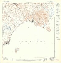
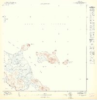
Other maps of this area

1945 · El Yunque
USGS Topo · 1:30,000

1946 · El Yunque
USGS Topo · 1:30,000
1946 · Humacao
USGS Topo · 1:30,000
1946 · Naguabo
USGS Topo · 1:30,000

1946 · Fajardo
USGS Topo · 1:30,000
1947 · El Yunque SE
USGS Topo · 1:10,000
1947 · Humacao NE
USGS Topo · 1:10,000
1947 · Naguabo NE
USGS Topo · 1:10,000
1952 · Humacao
USGS Topo · 1:30,000

1952 · El Yunque
USGS Topo · 1:30,000