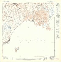
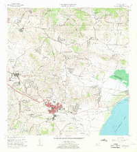
1947 Map of Naguabo SO
USGS Topo · Published 1947About this map
Naguabo and the surrounding coastline of eastern Puerto Rico are captured here during the late 1940s, highlighting a landscape defined by its coastal economy and sugarcane transport networks. The interior is marked by the Ferrocarril de Desarrollo, which links inland agricultural areas like Colonia San Luis to key rail stops such as Estación Naguabo and Estación Botija. These rail lines were essential for moving crops toward the coast where the Río Blanco and Río Santiago meet the sea.
Find a feature on this map
22 named features on this map. Tap any name to fly to it.
Don’t see what you’re looking for? This feature index may not catch every label — zoom into the map to look around manually.
Map Details
Editions of this 1947 Naguabo SO Map
11 editions found

1947 edition
30.75 x 31.6 inches
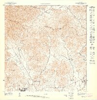
1947 edition
30.8 x 31.66 inches
1947 edition
30.72 x 31.62 inches
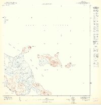
1947 edition
30.59 x 31.72 inches
1947 edition
33.09 x 15.16 inches
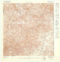
1948 edition
31.04 x 32.09 inches
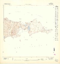
1948 edition
31.53 x 33.65 inches
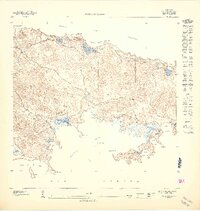
1948 edition
31.85 x 33.63 inches
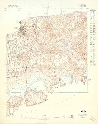
1948 edition
31.72 x 40.19 inches
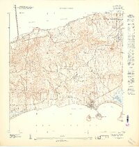
1948 edition
31.88 x 33.66 inches
1948 edition
32.02 x 63.15 inches
Other maps of this area

1946 · Humacao
USGS Topo · 1:30,000

1946 · Naguabo
USGS Topo · 1:30,000
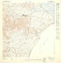
1947 · Humacao SE
USGS Topo · 1:10,000
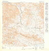
1947 · Humacao NE
USGS Topo · 1:10,000
1947 · Naguabo NE
USGS Topo · 1:10,000
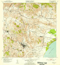
1952 · Humacao
USGS Topo · 1:30,000
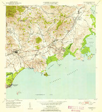
1952 · Naguabo
USGS Topo · 1:30,000
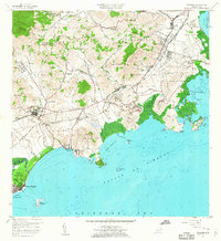
1957 · Naguabo
USGS Topo · 1:20,000
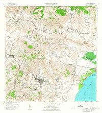
1958 · Humacao
USGS Topo · 1:20,000
1967 · Humacao
USGS Topo · 1:20,000