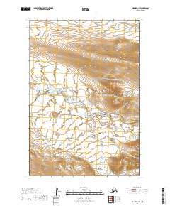
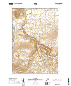
2019 Map of Naknek A-1 NW
USGS Topo · Published 2019About this map
Becharof National Wildlife Refuge encompasses the majority of this landscape on the Alaska Peninsula, protecting a vast wilderness of tundra and glacial water systems. The King Salmon River meanders across the central and western sections of the map, carving a winding path through the low-lying wetlands and alluvial plains typical of the region. To the east, the terrain rises into more defined ridges where smaller tributaries like Granite Cr and Gertrude Cr descend toward the river valley. The map detail reflects the complex hydrography of the Lake and Peninsula Borough, where braided stream patterns and seasonal water bodies define the movement across the land, illustrating the undisturbed character of this subarctic environment in the early twenty-first century.
Find a feature on this map
10 named features on this map. Tap any name to fly to it.
Don’t see what you’re looking for? This feature index may not catch every label — zoom into the map to look around manually.
Map Details
Editions of this 2019 Naknek A-1 NW Map
This is the sole edition of this map. No revisions or reprints were ever made.
Other maps of this area

1951 · Naknek B-1
USGS Topo · 1:63,360

1951 · Naknek A-2
USGS Topo · 1:63,360

1951 · Naknek A-1
USGS Topo · 1:63,360

1952 · Naknek
USGS Topo · 1:250,000

1952 · Naknek B-2
USGS Topo · 1:63,360

1964 · Naknek
USGS Topo · 1:250,000
2019 · Naknek A-1 SW
USGS Topo · 1:25,000
2019 · Naknek B-1 SE
USGS Topo · 1:25,000
2019 · Naknek A-1 NE
USGS Topo · 1:25,000
2019 · Naknek A-1 SE
USGS Topo · 1:25,000