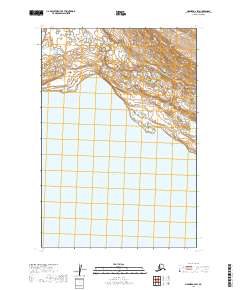
2019 Map of Naknek A-2 SW
USGS Topo · Published 2019About this map
Becharof Lake dominates the southern expanse of this Alaskan landscape, providing a primary hydrological anchor in the Lake and Peninsula borough. The northern terrain is defined by the winding course of Shosky Cr, which cuts through the upland contours before reaching the shoreline. This 2019 survey documents a wilderness area defined by its water systems and the Public Land Survey System grids of t24s r44w, t24s r45w, t25s r44w, and t25s r45w. The absence of roads or established settlements emphasizes the remote character of this coastal-adjacent region, where the intersection of freshwater drainage and large-scale lake systems dictates the local geography.
Find a feature on this map
6 named features on this map. Tap any name to fly to it.
Don’t see what you’re looking for? This feature index may not catch every label — zoom into the map to look around manually.
Map Details
Editions of this 2019 Naknek A-2 SW Map
This is the sole edition of this map. No revisions or reprints were ever made.
Other maps of this area

1943 · Ugashik
USGS Topo · 1:250,000

1948 · Ugashik
USGS Topo · 1:250,000

1949 · Ugashik
USGS Topo · 1:250,000

1951 · Ugashik D-3
USGS Topo · 1:63,360

1951 · Naknek A-2
USGS Topo · 1:63,360

1951 · Ugashik D-2
USGS Topo · 1:63,360

1951 · Naknek A-3
USGS Topo · 1:63,360

1952 · Naknek
USGS Topo · 1:250,000

1963 · Ugashik
USGS Topo · 1:250,000

1964 · Naknek
USGS Topo · 1:250,000