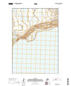
2019 Map of Naknek A-3 SE
USGS Topo · Published 2019About this map
Becharof Lake dominates the southern landscape of this coastal Alaska region, where the vast freshwater expanse meets a complex network of shoreline wetlands and tundra. The terrain is defined by the Public Land Survey System boundaries of t24s r46w, t24s r45w, t25s r46w, and t25s r45w, revealing a remote wilderness shaped by glacial history and hydrology. This survey illustrates the sharp transition between the low-lying lake basin and the elevated topography to the north, providing a clear record of the area's natural drainage patterns and land divisions in the Lake and Peninsula Borough.
Find a feature on this map
5 named features on this map. Tap any name to fly to it.
Don’t see what you’re looking for? This feature index may not catch every label — zoom into the map to look around manually.
Map Details
Editions of this 2019 Naknek A-3 SE Map
This is the sole edition of this map. No revisions or reprints were ever made.
Other maps of this area

1943 · Ugashik
USGS Topo · 1:250,000

1948 · Ugashik
USGS Topo · 1:250,000

1949 · Ugashik
USGS Topo · 1:250,000

1951 · Ugashik D-3
USGS Topo · 1:63,360

1951 · Naknek A-2
USGS Topo · 1:63,360

1951 · Ugashik D-2
USGS Topo · 1:63,360

1951 · Naknek A-3
USGS Topo · 1:63,360

1952 · Naknek
USGS Topo · 1:250,000

1963 · Ugashik
USGS Topo · 1:250,000

1964 · Naknek
USGS Topo · 1:250,000