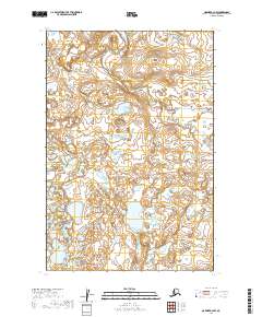
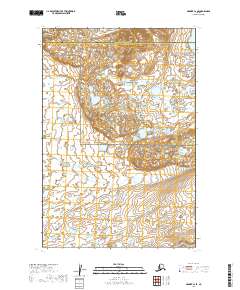
2019 Map of Naknek B-2 NW
USGS Topo · Published 2019About this map
Township and range lines define this Alaskan landscape in the Lake and Peninsula Borough. The map focuses on the legal surveying divisions of the Public Land Survey System, specifically detailing the junctions of t19s r45w, t19s r44w, t20s r45w, t20s r44w, t21s r45w, and t21s r44w. This specific study of the terrain highlights a complex network of unnamed lakes and wetlands typical of this region, providing a baseline for understanding the hydrologic patterns and natural boundaries of the territory as they were documented in 2019. The lack of named settlements or roads emphasizes the remote and untouched character of the interior, where the land is primarily organized by its surveying coordinates rather than human landmarks.
Find a feature on this map
6 named features on this map. Tap any name to fly to it.
Don’t see what you’re looking for? This feature index may not catch every label — zoom into the map to look around manually.
Map Details
Editions of this 2019 Naknek B-2 NW Map
This is the sole edition of this map. No revisions or reprints were ever made.
Other maps of this area

1952 · Naknek
USGS Topo · 1:250,000

1952 · Naknek B-3
USGS Topo · 1:63,360

1952 · Naknek B-2
USGS Topo · 1:63,360

1952 · Naknek C-2
USGS Topo · 1:63,360

1952 · Naknek C-3
USGS Topo · 1:63,360

1964 · Naknek
USGS Topo · 1:250,000
2019 · Naknek B-3 SE
USGS Topo · 1:25,000
2019 · Naknek C-2 SW
USGS Topo · 1:25,000
2019 · Naknek B-3 NE
USGS Topo · 1:25,000
2019 · Naknek C-2 SE
USGS Topo · 1:25,000