
1952 Map of Naknek B-5
USGS Topo · Published 1958About this map
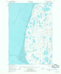
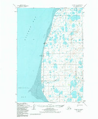
Cape Chichagof anchors this coastal survey of the Alaska Peninsula's western shoreline, where the waters of Kvichak Bay meet the northern reaches of Bristol Bay. The landscape is defined by vast Tidal Flats and an intricate network of coastal lakes and tundra ponds. Human presence in this environment is represented by isolated Cabin sites and the Winter Trail that weaves along the shoreline, providing essential overland transit when the ground is frozen. Near the center of the coast, the Middle Bluff Light serves as a critical navigation point for mariners traversing the bay. Farther inland, the meandering paths of Big Creek and Bishop Creek drain the water-logged lowlands, illustrating the complex hydrology of this subarctic coastal plain during the early 1950s.
Find a feature on this map
11 named features on this map. Tap any name to fly to it.
Don’t see what you’re looking for? This feature index may not catch every label — zoom into the map to look around manually.
Map Details
Editions of this 1952 Naknek B-5 Map
3 editions found
Other maps of this area

1951 · Naknek A-5
USGS Topo · 1:63,360

1951 · Naknek A-4
USGS Topo · 1:63,360

1952 · Naknek
USGS Topo · 1:250,000

1952 · Naknek C-5
USGS Topo · 1:63,360

1952 · Naknek B-4
USGS Topo · 1:63,360

1952 · Naknek C-6
USGS Topo · 1:63,360

1952 · Naknek C-4
USGS Topo · 1:63,360

1964 · Naknek
USGS Topo · 1:250,000
2019 · Naknek B-4 NW
USGS Topo · 1:25,000
2019 · Naknek A-5 NW
USGS Topo · 1:25,000