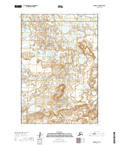
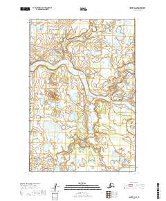
2019 Map of Naknek C-3 SE
USGS Topo · Published 2019About this map
Bristol Bay Borough meets the Lake and Peninsula Borough in this high-resolution survey of the wetlands and tundra of south-central Alaska. The landscape is defined by an intricate network of unnamed lakes and marshy depressions, interrupted only by the winding path of Smell Cr in the northern portion of the quadrangle. The lack of named roads or established settlements on this 2019 sheet illustrates the preserved, wild character of the region. This document serves as a precise record of the hydrography and terrain before ongoing environmental shifts might alter these sensitive drainage patterns, making it a valuable tool for researchers tracking changes in the Alaska Peninsula landscape.
Find a feature on this map
6 named features on this map. Tap any name to fly to it.
Don’t see what you’re looking for? This feature index may not catch every label — zoom into the map to look around manually.
Map Details
Editions of this 2019 Naknek C-3 SE Map
This is the sole edition of this map. No revisions or reprints were ever made.
Other maps of this area

1952 · Naknek
USGS Topo · 1:250,000

1952 · Naknek B-3
USGS Topo · 1:63,360

1952 · Naknek B-2
USGS Topo · 1:63,360

1952 · Naknek C-2
USGS Topo · 1:63,360

1952 · Naknek C-3
USGS Topo · 1:63,360

1964 · Naknek
USGS Topo · 1:250,000
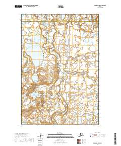
2019 · Naknek C-2 SW
USGS Topo · 1:25,000
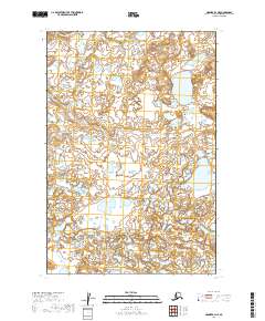
2019 · Naknek B-3 NE
USGS Topo · 1:25,000
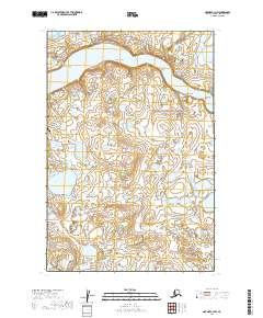
2019 · Naknek C-3 NW
USGS Topo · 1:25,000
2019 · Naknek C-3 NE
USGS Topo · 1:25,000