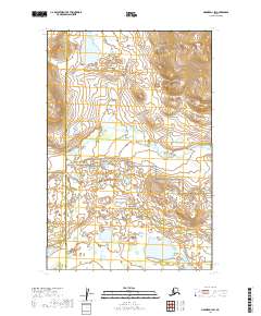
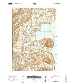
2019 Map of Naknek D-1 SW
USGS Topo · Published 2019About this map
Katmai National Park encompasses the southeastern portion of this remote Alaskan landscape, where the terrain transitions from high ridges in the northeast to low-lying wetlands and tundra. The boundary between the Lake and Peninsula Borough and Bristol Bay Borough runs north-to-south through the western sections, marking a jurisdictional division in a region defined primarily by its hydrology. The meandering course of King Salmon Cr flows westward across the central interior, draining a complex network of small ponds and glacial features. This 2019 survey documents the intricate topography of the Naknek River watershed just before it reaches the coastal estuaries, showing a wilderness area managed for conservation and subsistence rather than industrial development or permanent settlement.
Find a feature on this map
7 named features on this map. Tap any name to fly to it.
Don’t see what you’re looking for? This feature index may not catch every label — zoom into the map to look around manually.
Map Details
Editions of this 2019 Naknek D-1 SW Map
This is the sole edition of this map. No revisions or reprints were ever made.
Other maps of this area

1951 · Naknek D-1
USGS Topo · 1:63,360

1951 · Naknek C-1
USGS Topo · 1:63,360

1952 · Naknek
USGS Topo · 1:250,000

1952 · Naknek D-2
USGS Topo · 1:63,360

1952 · Naknek C-2
USGS Topo · 1:63,360

1964 · Naknek
USGS Topo · 1:250,000
2019 · Naknek D-2 SE
USGS Topo · 1:25,000
2019 · Naknek C-1 NE
USGS Topo · 1:25,000
2019 · Naknek D-1 NW
USGS Topo · 1:25,000
2019 · Naknek C-2 NE
USGS Topo · 1:25,000