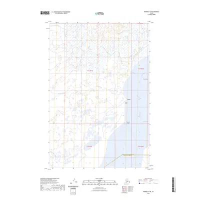
2023 Map of Naknek D-4 NE
USGS Topo · Published 2023About this map
Nakeen serves as the primary human landmark on this coastal landscape, situated along the eastern bank of the Kvichak River. The settlement is supported by Nakeen Airport, emphasizing the area's reliance on air transport for access to the Bristol Bay region. The terrain is defined by tidal and freshwater systems, including the expansive Sea Gull Flat and several wandering waterways such as Sea Gull Creek and Duck Creek.
Find a feature on this map
15 named features on this map. Tap any name to fly to it.
Don’t see what you’re looking for? This feature index may not catch every label — zoom into the map to look around manually.
Map Details
Editions of this 2023 Naknek D-4 NE Map
This is the sole edition of this map. No revisions or reprints were ever made.
Other maps of this area

1951 · Dillingham
USGS Topo · 1:250,000

1952 · Naknek
USGS Topo · 1:250,000

1952 · Dillingham A-4
USGS Topo · 1:63,360

1952 · Dillingham A-3
USGS Topo · 1:63,360

1952 · Naknek D-3
USGS Topo · 1:63,360

1952 · Naknek D-4
USGS Topo · 1:63,360

1954 · Dillingham
USGS Topo · 1:250,000

1964 · Naknek
USGS Topo · 1:250,000
2019 · Naknek D-3 NW
USGS Topo · 1:25,000
2019 · Naknek D-4 SE
USGS Topo · 1:25,000