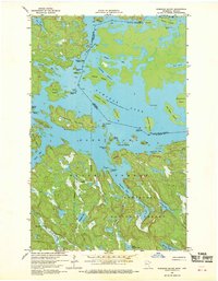
1967 Map of Namakan Island
USGS Topo · Published 1970About this map
Namakan Lake and the Kabetogama region define this international borderland, where the boundary between the United States and Canada threads through a labyrinth of glaciated islands and narrows. In the late 1960s, this area remained a dense wilderness within the Superior National Forest, characterized by complex water routes like the Canadian Channel and Squaw Narrows. Significant industrial footprints are visible at the Mica Mine near the northern edge and the Kettle Falls Dam, which regulates the flow between the major lakes. The map details a landscape of family-named landmarks and remote outposts, from McManus Island to Gagnon Island, reflecting the era's reliance on boat travel for reaching these isolated points. This survey captures the intricate shoreline of Namakan Island and the rugged topography of the St. Louis County mainland before modern development altered the character of this northern frontier.
Find a feature on this map
52 named features on this map. Tap any name to fly to it.
Don’t see what you’re looking for? This feature index may not catch every label — zoom into the map to look around manually.
Map Details
Editions of this 1967 Namakan Island Map
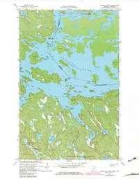
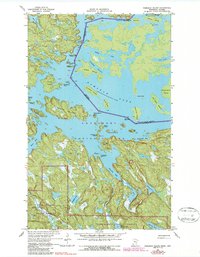
4 editions found
Other maps of this area

1954 · International Falls
USGS Topo · 1:250,000

1957 · International Falls
USGS Topo · 1:250,000

1958 · International Falls
USGS Topo · 1:250,000

1967 · Namakan Island
USGS Topo · 1:24,000

1967 · Marion Lake
USGS Topo · 1:24,000

1967 · Hale Bay
USGS Topo · 1:24,000

1967 · Kempton Bay
USGS Topo · 1:24,000
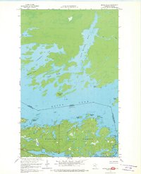
1967 · Kettle Falls
USGS Topo · 1:24,000

1967 · Johnson Lake
USGS Topo · 1:24,000

1968 · Ash River SE
USGS Topo · 1:24,000