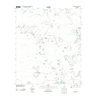
2013 Map of Nameless
USGS Topo · Published 2013About this map
Big Sandy Creek winds through a landscape of named hollows and mesas northwest of Austin, anchoring the drainage toward Lake Travis in the south. The settlement of Jonestown borders the lakeside, while the community of Nameless remains centered further north near Nameless Hollow. The area is characterized by a high density of family-named topographic features and ranches, including Sunset Ranch and Flying K Ranch, reflecting the transition from traditional central Texas ranching to modern suburban expansion.
Find a feature on this map
174 named features on this map. Tap any name to fly to it.
Don’t see what you’re looking for? This feature index may not catch every label — zoom into the map to look around manually.
Map Details
Editions of this 2013 Nameless Map
This is the sole edition of this map. No revisions or reprints were ever made.
Other maps of this area

1887 · Blanco
USGS Topo · 1:125,000

1887 · Burnet
USGS Topo · 1:125,000

1893 · Georgetown
USGS Topo · 1:125,000

1893 · Burnet
USGS Topo · 1:125,000

1894 · Blanco
USGS Topo · 1:125,000

1896 · Austin
USGS Topo · 1:125,000

1897 · Austin
USGS Topo · 1:125,000

1903 · Burnet
USGS Topo · 1:125,000

1909 · Burnet
USGS Topo · 1:125,000

1910 · Austin
USGS Topo · 1:125,000