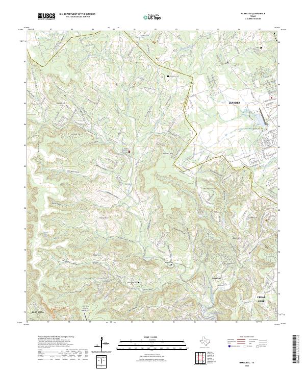
2023 Map of Nameless
USGS Topo · Published 2023About this map
Balcones Canyonlands National Wildlife Refuge anchors the western landscape of this Travis County region, where the limestone hills of the Texas Hill Country meet the suburban expansion of the Austin area. This modern survey illustrates the transition from rural ranching roots to residential development, with the Travis Co / Williamson Co boundary dividing the terrain. Water sources like Big Sandy Creek and North Fork Brushy Creek have long defined the settlement patterns here, while landmarks like Round Mtn and Polecat Knob provide prominent topographic relief. Genealogists will find significant value in the scattered burial grounds, including the uniquely named Nameless Cem, as well as Avery Briggs Cem and Huddleston Cem. The map also details the Lago Vista TX/Rusty Allen Airport and the growth around Jonestown and Leander.
Find a feature on this map
199 named features on this map. Tap any name to fly to it.
Don’t see what you’re looking for? This feature index may not catch every label — zoom into the map to look around manually.
Map Details
Editions of this 2023 Nameless Map
This is the sole edition of this map. No revisions or reprints were ever made.
Other maps of this area

1887 · Blanco
USGS Topo · 1:125,000

1887 · Burnet
USGS Topo · 1:125,000

1893 · Georgetown
USGS Topo · 1:125,000

1893 · Burnet
USGS Topo · 1:125,000

1894 · Blanco
USGS Topo · 1:125,000

1896 · Austin
USGS Topo · 1:125,000

1897 · Austin
USGS Topo · 1:125,000

1903 · Burnet
USGS Topo · 1:125,000

1909 · Burnet
USGS Topo · 1:125,000

1910 · Austin
USGS Topo · 1:125,000