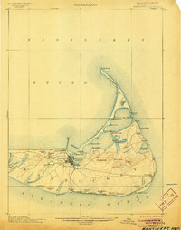
1901 Map of Nantucket
USGS Topo · Published 1905About this map
The town of Nantucket serves as the hub of this late nineteenth-century island survey, which highlights a maritime landscape of shifting sands and isolated outposts. To the east, the Central R. R. connects the main settlement to the seaside village of Siasconset, while the long, narrow finger of Coatue Beach protects Nantucket Harbor from the open Nantucket Sound.
Find a feature on this map
63 named features on this map. Tap any name to fly to it.
Don’t see what you’re looking for? This feature index may not catch every label — zoom into the map to look around manually.
Map Details
Editions of this 1901 Nantucket Map
5 editions found
Other maps of this area

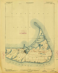
1887 · Muskeget
USGS Topo · 1:62,500

1889 · Muskeget
USGS Topo · 1:62,500

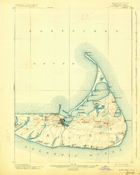
1889 · Nantucket
USGS Topo · 1:62,500

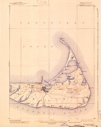
1893 · Nantucket
USGS Topo · 1:62,500

1893 · Muskeget
USGS Topo · 1:62,500

1899 · Muskeget
USGS Topo · 1:62,500

1901 · Nantucket
USGS Topo · 1:62,500

1942 · Nantucket
USGS Topo · 1:125,000

1945 · Nantucket
USGS Topo · 1:31,680

1945 · Siasconset
USGS Topo · 1:31,680