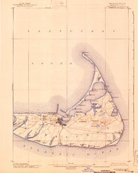
1901 Map of Nantucket
USGS Topo · Published 1940About this map
Nantucket island is defined here by its late 19th-century coastal configuration, anchored by the dense street grid of the main settlement and the remote outposts of Siasconset and Wauwinet. The landscape is a complex network of glacial ponds and wetlands, from the large Long Pond in the west to Sessachacha Pond on the eastern shore. Of particular interest to transport historians is the Nantucket Central R. R., which links the main town to the South Shore at Surfside and extends eastward across the interior moors toward the coast.
Find a feature on this map
61 named features on this map. Tap any name to fly to it.
Don’t see what you’re looking for? This feature index may not catch every label — zoom into the map to look around manually.
Map Details
Editions of this 1901 Nantucket Map
5 editions found
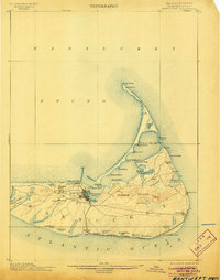
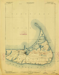
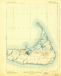
Other maps of this area

1887 · Muskeget
USGS Topo · 1:62,500

1889 · Muskeget
USGS Topo · 1:62,500

1889 · Nantucket
USGS Topo · 1:62,500

1893 · Nantucket
USGS Topo · 1:62,500

1893 · Muskeget
USGS Topo · 1:62,500

1899 · Muskeget
USGS Topo · 1:62,500

1901 · Nantucket
USGS Topo · 1:62,500

1942 · Nantucket
USGS Topo · 1:125,000

1945 · Nantucket
USGS Topo · 1:31,680

1945 · Siasconset
USGS Topo · 1:31,680