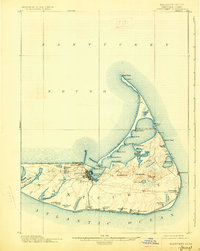
1901 Map of Nantucket
USGS Topo · Published 1927About this map
Nantucket island is captured here as it appeared in the late nineteenth century, showing a landscape defined by its maritime heritage and early tourist development. The Nantucket Central R. R. stretches across the south shore, linking the main settlement of Nantucket town with Surfside and the village of Siasconset. This rail line reveals the island's transition from a whaling hub to a seasonal destination. Along the eastern and northern shores, isolated settlements like Quidnet and Wauwinet sit near prominent landmarks such as Nantucket L.H. at Great Point and Sankaty Head. The interior is marked by numerous glacial ponds including Sesachacha Pond and Miacomet Pond, while the complex shoreline of Nantucket Harbor is protected by the long, narrow reach of Coatue Beach and its distinctive features like Five Fingered Point.
Find a feature on this map
62 named features on this map. Tap any name to fly to it.
Don’t see what you’re looking for? This feature index may not catch every label — zoom into the map to look around manually.
Map Details
Editions of this 1901 Nantucket Map
5 editions found
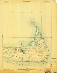
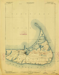
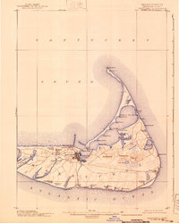
Other maps of this area

1887 · Muskeget
USGS Topo · 1:62,500

1889 · Muskeget
USGS Topo · 1:62,500

1889 · Nantucket
USGS Topo · 1:62,500

1893 · Nantucket
USGS Topo · 1:62,500

1893 · Muskeget
USGS Topo · 1:62,500

1899 · Muskeget
USGS Topo · 1:62,500

1901 · Nantucket
USGS Topo · 1:62,500

1942 · Nantucket
USGS Topo · 1:125,000

1945 · Nantucket
USGS Topo · 1:31,680

1945 · Siasconset
USGS Topo · 1:31,680