
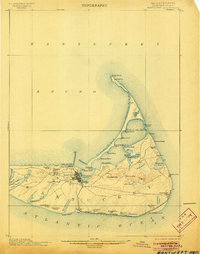
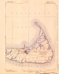
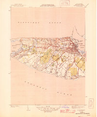
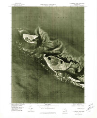
1901 Map of Nantucket
USGS Topo · Published 1901This historical map portrays the area of Nantucket in 1901, primarily covering Nantucket as well as portions of Barnstable County. Featuring a scale of 1:62500, this map provides a highly detailed snapshot of the terrain, roads, buildings, counties, and historical landmarks in the Nantucket region at the time. Published in 1901, it is one of 5 known editions of this map due to revisions or reprints.
Find a feature on this map
61 named features on this map. Tap any name to fly to it.
Don’t see what you’re looking for? This feature index may not catch every label — zoom into the map to look around manually.
Map Details
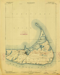
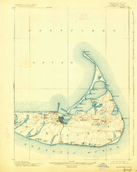
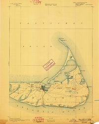
Editions of this 1901 Nantucket Map
5 editions found
Historical Maps of Madaket Through Time
20 maps found

1887 Muskeget
Nantucket County, MA

1889 Muskeget
Nantucket County, MA

1889 Nantucket
Nantucket County, MA

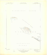
1893 Muskeget
Nantucket County, MA
1893 Nantucket
Nantucket County, MA
1899 Muskeget
Nantucket County, MA
1901 Nantucket
Nantucket County, MA

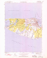
1942 Nantucket
Nantucket County, MA
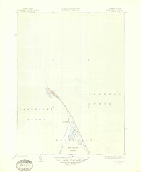
1944 Tuckernuck Island
Nantucket County, MA
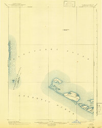
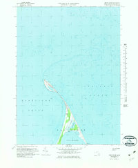
1945 Great Point
Nantucket County, MA
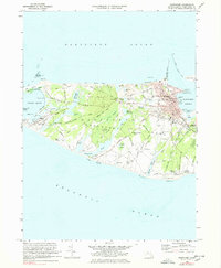
1945 Nantucket
Nantucket County, MA
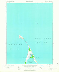
1951 Great Point
Nantucket County, MA
1951 Nantucket
Nantucket County, MA
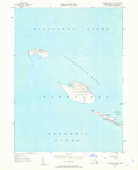
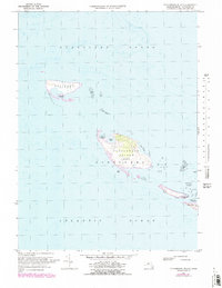
1951 Tuckernuck Island
Nantucket County, MA
1972 Great Point
Nantucket County, MA
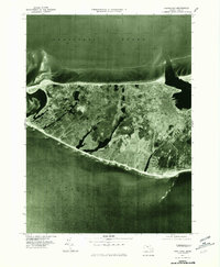
1972 Nantucket
Nantucket County, MA
1972 Tuckernuck Island
Nantucket County, MA

1977 Great Point
Nantucket County, MA
1977 Nantucket
Nantucket County, MA
1977 Tuckernuck Island
Nantucket County, MA