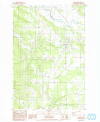
1985 Map of Napavine
USGS Topo · Published 1993About this map
Napavine sits as a central hub on this mid-1980s landscape, positioned atop the distinct Napavine Prairie. The area is defined by a series of north-south water systems, including the Newaukum River and Olequa Creek, which cut through the level terrain. Local history is anchored by smaller communities like Evaline, home to the Evaline School, and the settlement of St Urban in the southeast. Genealogy researchers will find the St Urban Church and St Urban Cem specifically located along the grid of rural roads like Military Road.
Find a feature on this map
60 named features on this map. Tap any name to fly to it.
Don’t see what you’re looking for? This feature index may not catch every label — zoom into the map to look around manually.
Map Details
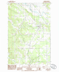
Editions of this 1985 Napavine Map
2 editions found
Other maps of this area

1916 · Chehalis
USGS Topo · 1:125,000

1941 · Meskill
USGS Topo · 1:62,500

1941 · Olequa
USGS Topo · 1:62,500

1953 · Hoquiam
USGS Topo · 1:250,000

1953 · Castle Rock
USGS Topo · 1:62,500

1953 · Ryderwood
USGS Topo · 1:62,500

1953 · Adna
USGS Topo · 1:62,500

1954 · Centralia
USGS Topo · 1:62,500

1957 · Hoquiam
USGS Topo · 1:250,000

1958 · Hoquiam
USGS Topo · 1:250,000