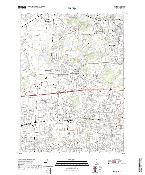
2024 Map of Naperville
USGS Topo · Published 2024About this map
The West Branch Du Page River carves a central path through this densely developed corridor in DuPage County, anchoring a landscape where municipal boundaries for Naperville, Warrenville, and Wheaton converge. This contemporary survey documents the area's intricate transportation network, featuring major rail lines like the Union Pacific and BNSF Railway alongside thoroughfares such as Butterfield Rd and W Roosevelt Rd.
Find a feature on this map
111 named features on this map. Tap any name to fly to it.
Don’t see what you’re looking for? This feature index may not catch every label — zoom into the map to look around manually.
Map Details
Editions of this 2024 Naperville Map
This is the sole edition of this map. No revisions or reprints were ever made.
Other maps of this area

1892 · Joliet
USGS Topo · 1:62,500

1908 · Wheaton
USGS Topo · 1:62,500

1923 · Joliet
USGS Topo · 1:62,500

1925 · Yorkville
USGS Topo · 1:62,500

1932 · Geneva
USGS Topo · 1:62,500

1948 · Wheaton
USGS Topo · 1:62,500

1948 · Geneva
USGS Topo · 1:62,500

1949 · Geneva
USGS Topo · 1:24,000

1950 · Aurora North
USGS Topo · 1:24,000

1953 · Naperville
USGS Topo · 1:24,000