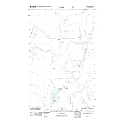
2011 Map of Naples
USGS Topo · Published 2011About this map
Deep Creek flows southward through this corner of Boundary County, anchoring a landscape defined by small settlements and the extensive McArthur Wildlife Management Area. The settlement of Naples sits at a strategic junction of rail and road, while the community of Mc Arthur is located further south near the McArthur Dam and the northern tip of McArthur Lake. This area reflects a long-standing balance between rural residential pockets like Shiloh and Highland Flats, and the surrounding timber and water resources.
Find a feature on this map
52 named features on this map. Tap any name to fly to it.
Don’t see what you’re looking for? This feature index may not catch every label — zoom into the map to look around manually.
Map Details
Editions of this 2011 Naples Map
This is the sole edition of this map. No revisions or reprints were ever made.
Other maps of this area

1901 · Sandpoint
USGS Topo · 1:125,000

1911 · Priest Lake
USGS Topo · 1:250,000

1911 · Sandpoint
USGS Topo · 1:125,000

1913 · Priest Lake
USGS Topo · 1:250,000

1951 · Elmira
USGS Topo · 1:62,500

1958 · Sandpoint
USGS Topo · 1:250,000

1963 · Sandpoint
USGS Topo · 1:250,000

1965 · Twentymile Creek
USGS Topo · 1:24,000

1965 · Moravia
USGS Topo · 1:24,000

1965 · Naples
USGS Topo · 1:24,000