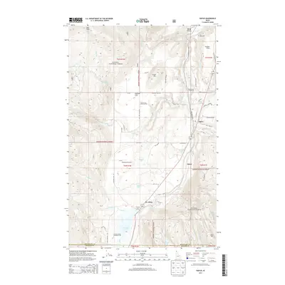
2013 Map of Naples
USGS Topo · Published 2013About this map
Deep Creek carves a central path through this Idaho landscape, where the Union Pacific railroad parallels the water to connect the communities of Naples and Mc Arthur. The geography is defined by the transition from the high peaks of Ruby Ridge and Round Mtn in the Kanisku National Forest to the productive lowlands of Paradise Valley and Kootenai Orchard. Local social infrastructure is anchored by the Highland Flats Community Hall, serving the scattered homesteads of Highland Flats and Shiloh. The southern portion of the map highlights significant conservation and recreation zones, including the McArthur Wildlife Management Area surrounding McArthur Lake. Numerous small water bodies like Bradley Lake and Stampede Lake are tucked into the drainages of Fall Cr and Dodge Cr, illustrating the complex hydrology of Boundary County's panhandle region.
Find a feature on this map
69 named features on this map. Tap any name to fly to it.
Don’t see what you’re looking for? This feature index may not catch every label — zoom into the map to look around manually.
Map Details
Editions of this 2013 Naples Map
This is the sole edition of this map. No revisions or reprints were ever made.
Other maps of this area

1901 · Sandpoint
USGS Topo · 1:125,000

1911 · Priest Lake
USGS Topo · 1:250,000

1911 · Sandpoint
USGS Topo · 1:125,000

1913 · Priest Lake
USGS Topo · 1:250,000

1951 · Elmira
USGS Topo · 1:62,500

1958 · Sandpoint
USGS Topo · 1:250,000

1963 · Sandpoint
USGS Topo · 1:250,000

1965 · Twentymile Creek
USGS Topo · 1:24,000

1965 · Moravia
USGS Topo · 1:24,000

1965 · Naples
USGS Topo · 1:24,000