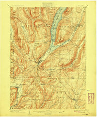
1903 Map of Naples
USGS Topo · Published 1908About this map
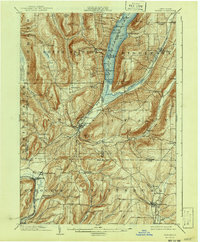
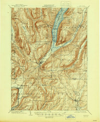
Canandaigua Lake dominates the northern reaches of this turn-of-the-century landscape, where a Steamboat Route connects landings at Bristol Springs and Woodville. The village of Naples sits as a central hub at the convergence of Grimes Gully, Naples Creek, and Reservoir Creek, marking the terminus of the Middlesex Valley R.R. (Naples Branch). This era reveals a valley economy deeply tied to the waterways and emerging rail lines, including the Kanona and Prattsburg R.R. serving the southern agricultural lands near Prattsburg.
Find a feature on this map
84 named features on this map. Tap any name to fly to it.
Don’t see what you’re looking for? This feature index may not catch every label — zoom into the map to look around manually.
Map Details
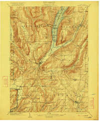
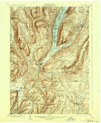
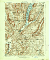
Editions of this 1903 Naples Map
7 editions found
Other maps of this area

1900 · Naples
USGS Topo · 1:62,500

1900 · Canandaigua
USGS Topo · 1:62,500

1901 · Honeoye
USGS Topo · 1:62,500

1902 · Phelps
USGS Topo · 1:62,500

1902 · Wayland
USGS Topo · 1:62,500

1903 · Naples
USGS Topo · 1:62,500

1903 · Canandaigua
USGS Topo · 1:62,500

1903 · Penn Yan
USGS Topo · 1:62,500

1903 · Hammondsport
USGS Topo · 1:62,500

1904 · Wayland
USGS Topo · 1:62,500