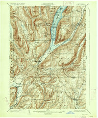
1903 Map of Naples
USGS Topo · Published 1933About this map
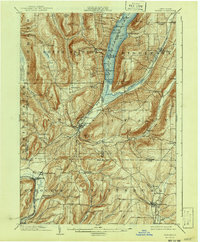
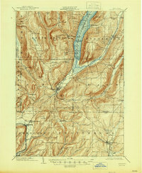
The northern tip of the Finger Lakes region comes to life in this 1903 survey, centered on the southern reaches of Canandaigua Lake. Steep glacial hills like Gannett Hill and Bare Hill tower over the valleys where the West River and Naples Creek flow. The settlement of Naples serves as a central hub in this complex topography, surrounded by a network of smaller farming hamlets including South Bristol, Middlesex, and West Italy. These communities are defined by their relationship to the high ridges and deep inlets, reflecting an era of agricultural dominance before modern suburbanization.
Find a feature on this map
68 named features on this map. Tap any name to fly to it.
Don’t see what you’re looking for? This feature index may not catch every label — zoom into the map to look around manually.
Map Details
Editions of this 1903 Naples Map
7 editions found
Other maps of this area

1900 · Naples
USGS Topo · 1:62,500

1900 · Canandaigua
USGS Topo · 1:62,500

1901 · Honeoye
USGS Topo · 1:62,500

1902 · Phelps
USGS Topo · 1:62,500

1902 · Wayland
USGS Topo · 1:62,500

1903 · Naples
USGS Topo · 1:62,500

1903 · Canandaigua
USGS Topo · 1:62,500

1903 · Penn Yan
USGS Topo · 1:62,500

1903 · Hammondsport
USGS Topo · 1:62,500

1904 · Wayland
USGS Topo · 1:62,500