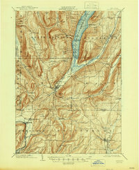
1903 Map of Naples
USGS Topo · Published 1946About this map
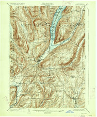
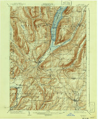
Naples serves as the central hub of this Finger Lakes landscape, situated where the deep valley floors meet the southern tip of Canandaigua Lake. At the time of this 1900 survey, the region was defined by a complex network of narrow valleys and high ridges, including High Point and Gannett Hill. The map reveals a robust agricultural and transport economy, with the Erie R. R. (Naples Branch) terminating at Naples and the Kanona and Prattsburg R. R. serving the southeastern corner of the quadrangle. Smaller, often family-named settlements like Seman Corners, Garlinghouse, and Overacker Corners are scattered throughout the hills, reflecting the density of rural life before the mid-century. Steamboat routes are marked on the lake, connecting points such as Woodville and Cook Pt. to the wider region, while the Cohocton River valley to the south supports the industrial growth of Atlanta and Cohocton.
Find a feature on this map
80 named features on this map. Tap any name to fly to it.
Don’t see what you’re looking for? This feature index may not catch every label — zoom into the map to look around manually.
Map Details
Editions of this 1903 Naples Map
7 editions found
Other maps of this area

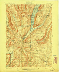
1900 · Naples
USGS Topo · 1:62,500

1900 · Canandaigua
USGS Topo · 1:62,500

1901 · Honeoye
USGS Topo · 1:62,500

1902 · Phelps
USGS Topo · 1:62,500

1902 · Wayland
USGS Topo · 1:62,500

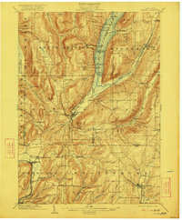
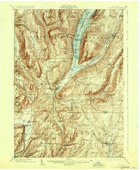
1903 · Naples
USGS Topo · 1:62,500

1903 · Canandaigua
USGS Topo · 1:62,500

1903 · Penn Yan
USGS Topo · 1:62,500

1903 · Hammondsport
USGS Topo · 1:62,500

1904 · Wayland
USGS Topo · 1:62,500