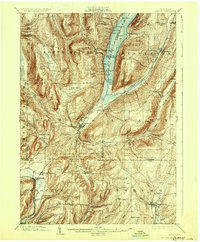
1903 Map of Naples
USGS Topo · Published 1930About this map
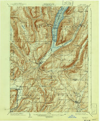
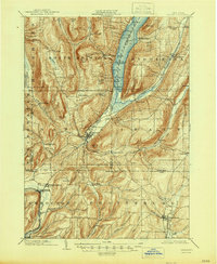
Naples serves as the focal point of this turn-of-the-century landscape, situated at the southern tip of Canandaigua Lake where the Naples Creek valley opens into the water. The terrain is defined by deep glacial valleys and prominent summits like Cannett Hill and Bare Hill, which hem in the drainage basins of the Cohocton River and Flint Creek. The map documents a period of robust rail connectivity, showing the Lehigh Valley line skirting the West River valley while the Kanona and Prattsburg R.R. terminates in the southeast at Prattsburg. Rural life is etched into the hillsides through small hamlets like Bristol Springs, Italy, and Ingleside, alongside landmarks like Barker Church. This 1900 survey captures the region just as its famous viticulture and lakeside tourism were maturing, illustrating the tight relationship between the Finger Lakes topography and the transport networks of the day.
Find a feature on this map
63 named features on this map. Tap any name to fly to it.
Don’t see what you’re looking for? This feature index may not catch every label — zoom into the map to look around manually.
Map Details
Editions of this 1903 Naples Map
7 editions found
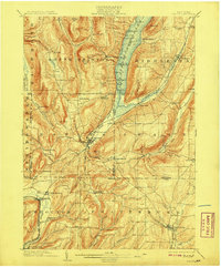
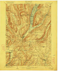
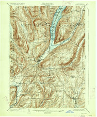
Other maps of this area

1900 · Naples
USGS Topo · 1:62,500

1900 · Canandaigua
USGS Topo · 1:62,500

1901 · Honeoye
USGS Topo · 1:62,500

1902 · Phelps
USGS Topo · 1:62,500

1902 · Wayland
USGS Topo · 1:62,500

1903 · Naples
USGS Topo · 1:62,500

1903 · Canandaigua
USGS Topo · 1:62,500

1903 · Penn Yan
USGS Topo · 1:62,500

1903 · Hammondsport
USGS Topo · 1:62,500

1904 · Wayland
USGS Topo · 1:62,500