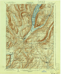
1903 Map of Naples
USGS Topo · Published 1941About this map
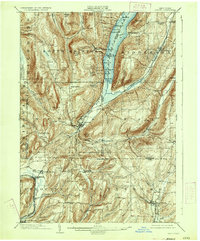
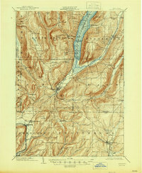
Canandaigua Lake anchors the northern reaches of this landscape, its steep eastern and western shores dotted with historic landings like Fox Landing and Miller Landing. The village of Naples sits at the southern terminus of the lake, serving as a hub where Naples Creek and the West River meet. This 1900 survey captures a period of significant rail activity, showing the Lehigh Valley R. R. cutting through the valley toward Middlesex and the Kanona and Prattsburg R. R. terminating at Prattsburg.
Find a feature on this map
83 named features on this map. Tap any name to fly to it.
Don’t see what you’re looking for? This feature index may not catch every label — zoom into the map to look around manually.
Map Details
Editions of this 1903 Naples Map
7 editions found
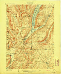
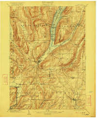
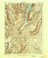
Other maps of this area

1900 · Naples
USGS Topo · 1:62,500

1900 · Canandaigua
USGS Topo · 1:62,500

1901 · Honeoye
USGS Topo · 1:62,500

1902 · Phelps
USGS Topo · 1:62,500

1902 · Wayland
USGS Topo · 1:62,500

1903 · Naples
USGS Topo · 1:62,500

1903 · Canandaigua
USGS Topo · 1:62,500

1903 · Penn Yan
USGS Topo · 1:62,500

1903 · Hammondsport
USGS Topo · 1:62,500

1904 · Wayland
USGS Topo · 1:62,500