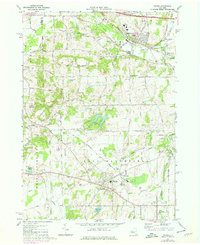
1971 Map of Victor
USGS Topo · Published 1978About this map
Victor and East Bloomfield serve as the primary hubs in this late-century look at the Ontario County landscape. The area is defined by its transition from a railroad-dependent economy to one influenced by the New York State Thruway, which cuts across the northern edge of the sheet. Despite the modernization of the road network, the footprints of older industry and community life remain visible through an extensive collection of local schools and churches. Landmark elevations like Fort Hill and Boughton Hill rise above the drainage of Trout Creek and Sucker Brook, providing topographical context to the region's early settlement patterns.
Find a feature on this map
85 named features on this map. Tap any name to fly to it.
Don’t see what you’re looking for? This feature index may not catch every label — zoom into the map to look around manually.
Map Details
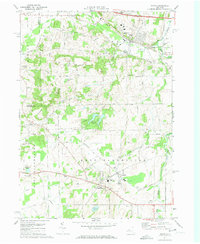
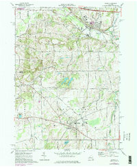
Editions of this 1971 Victor Map
Other maps of this area

1895 · Rochester
USGS Topo · 1:62,500

1898 · Rochester
USGS Topo · 1:62,500

1900 · Macedon
USGS Topo · 1:62,500

1900 · Canandaigua
USGS Topo · 1:62,500

1901 · Honeoye
USGS Topo · 1:62,500

1903 · Canandaigua
USGS Topo · 1:62,500

1904 · Honeoye
USGS Topo · 1:62,500

1912 · Rochester
USGS Topo · 1:62,500

1920 · Rochester
USGS Topo · 1:62,500

1931 · Mendon Ponds
USGS Topo · 1:24,000