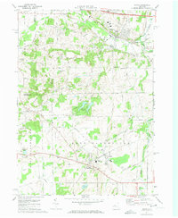
1971 Map of Victor
USGS Topo · Published 1974About this map
Victor stands at a significant transportation crossroads in the early 1970s, where the modern New York State Thruway cuts across older transit corridors like the Lehigh Valley Railroad and Penn Central. The landscape is a mix of developing village centers and persistent agriculture, punctuated by local landmarks like Fort Hill and Boughton Hill. To the south, the twin settlements of Holcomb and East Bloomfield appear as established community hubs, featuring the Bloomfield Central School and several local churches.
Find a feature on this map
48 named features on this map. Tap any name to fly to it.
Don’t see what you’re looking for? This feature index may not catch every label — zoom into the map to look around manually.
Map Details
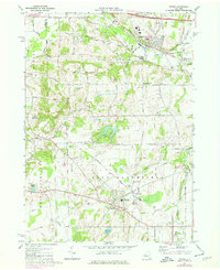
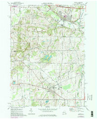
Editions of this 1971 Victor Map
Other maps of this area

1895 · Rochester
USGS Topo · 1:62,500

1898 · Rochester
USGS Topo · 1:62,500

1900 · Macedon
USGS Topo · 1:62,500

1900 · Canandaigua
USGS Topo · 1:62,500

1901 · Honeoye
USGS Topo · 1:62,500

1903 · Canandaigua
USGS Topo · 1:62,500

1904 · Honeoye
USGS Topo · 1:62,500

1912 · Rochester
USGS Topo · 1:62,500

1920 · Rochester
USGS Topo · 1:62,500

1931 · Mendon Ponds
USGS Topo · 1:24,000