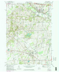
1971 Map of Victor
USGS Topo · Published 1978About this map
Victor and East Bloomfield anchor this landscape during the early 1970s, a period of transition where the New York State Thruway cuts across the northern edge while deep historical roots remain visible. The area is defined by its glacial drumlins and varied hydrology, featuring the Fairport Reservoirs and the headwaters of Sucker Brook. A clear pattern of rural life is evident in the numerous family and church burial grounds, such as Rice Cem and St Patricks Cem, alongside active infrastructure like the Lehigh Valley Railroad. The presence of landmarks like Boughton Hill and Fort Hill points to the significant pre-colonial and early settlement history of the region. Educational and community centers, including Victor High Sch and the Bloomfield Central Sch, mark the growing population centers in these Ontario County townships.
Find a feature on this map
64 named features on this map. Tap any name to fly to it.
Don’t see what you’re looking for? This feature index may not catch every label — zoom into the map to look around manually.
Map Details
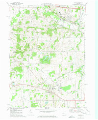
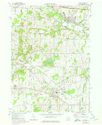
Editions of this 1971 Victor Map
Other maps of this area

1895 · Rochester
USGS Topo · 1:62,500

1898 · Rochester
USGS Topo · 1:62,500

1900 · Macedon
USGS Topo · 1:62,500

1900 · Canandaigua
USGS Topo · 1:62,500

1901 · Honeoye
USGS Topo · 1:62,500

1903 · Canandaigua
USGS Topo · 1:62,500

1904 · Honeoye
USGS Topo · 1:62,500

1912 · Rochester
USGS Topo · 1:62,500

1920 · Rochester
USGS Topo · 1:62,500

1931 · Mendon Ponds
USGS Topo · 1:24,000