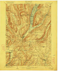
1903 Map of Naples
USGS Topo · Published 1922About this map
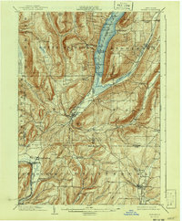
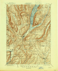
Naples sits at the southern tip of Canandaigua Lake, serving as a vital hub where the deep glacial valleys of the Finger Lakes transition into the steep highlands of the Southern Tier. At the turn of the century, the landscape was defined by an intricate network of narrow valleys and high ridges, such as Gannett Hill and Bare Hill. The regional economy is visible through the rail lines that snake along the valley floors, including the Lehigh Valley and the Kanona and Prattsburg R.R., which connected isolated settlements like Italy and Ingleside to larger markets.
Find a feature on this map
80 named features on this map. Tap any name to fly to it.
Don’t see what you’re looking for? This feature index may not catch every label — zoom into the map to look around manually.
Map Details
Editions of this 1903 Naples Map
7 editions found
Other maps of this area

1900 · Naples
USGS Topo · 1:62,500

1900 · Canandaigua
USGS Topo · 1:62,500

1901 · Honeoye
USGS Topo · 1:62,500

1902 · Phelps
USGS Topo · 1:62,500

1902 · Wayland
USGS Topo · 1:62,500

1903 · Naples
USGS Topo · 1:62,500

1903 · Canandaigua
USGS Topo · 1:62,500

1903 · Penn Yan
USGS Topo · 1:62,500

1903 · Hammondsport
USGS Topo · 1:62,500

1904 · Wayland
USGS Topo · 1:62,500