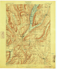
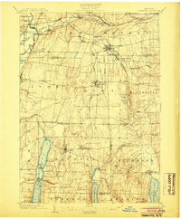
1903 Map of Naples
USGS Topo · Published 1903About this map
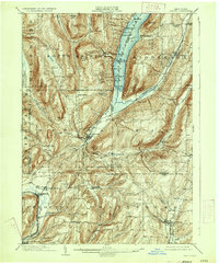
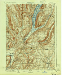
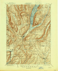
Naples serves as the focal point of this 1903 survey, situated at the confluence of several narrow valleys where the Finger Lakes uplands begin their descent toward the southern tier. The village's economy at the turn of the century is marked by a prominent Tannery and its role as the terminus for the Lehigh Valley R. R. Naples Branch. Further north, Canandaigua Lake provides a vital transportation corridor, with a designated Steamboat Route connecting several landings such as Cook Pt. and Miller Landing.
Find a feature on this map
85 named features on this map. Tap any name to fly to it.
Don’t see what you’re looking for? This feature index may not catch every label — zoom into the map to look around manually.
Map Details
Editions of this 1903 Naples Map
7 editions found
Other maps of this area
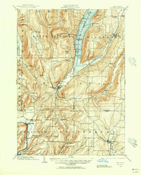
1900 · Naples
USGS Topo · 1:62,500
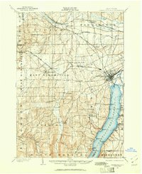
1900 · Canandaigua
USGS Topo · 1:62,500
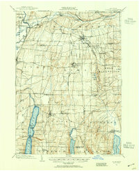
1901 · Honeoye
USGS Topo · 1:62,500
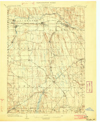
1902 · Phelps
USGS Topo · 1:62,500
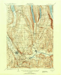
1902 · Wayland
USGS Topo · 1:62,500
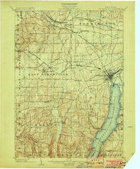
1903 · Canandaigua
USGS Topo · 1:62,500
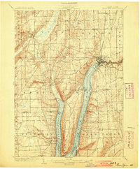
1903 · Penn Yan
USGS Topo · 1:62,500
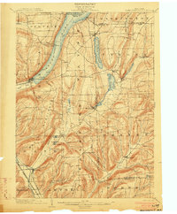
1903 · Hammondsport
USGS Topo · 1:62,500
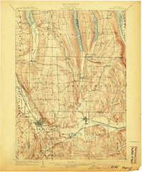
1904 · Wayland
USGS Topo · 1:62,500
1904 · Honeoye
USGS Topo · 1:62,500