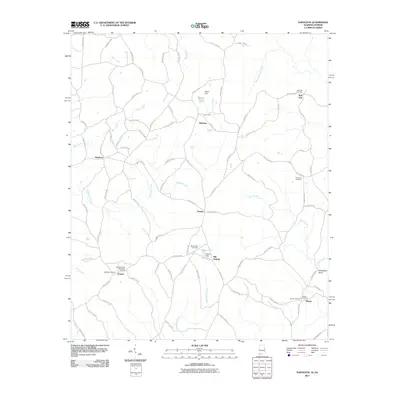
2011 Map of Napoleon
USGS Topo · Published 2011About this map
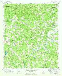
Big Springs and Omaha anchor this rural landscape in Randolph County, Alabama, during the early 21st century. The terrain is defined by a dense network of winding county roads and multiple watercourses, including Hillabahatchee Creek and Wedowee Creek. Small, localized settlements such as Napoleon, Waldrep, and Red Oak are scattered throughout, often identified by their proximity to family-named landmarks like Moores Pond and Higgins Lake. Notable for genealogists, the map records numerous burial grounds, from the Highway Ridge Memorial Gardens near Potash to the Beulah Cemetery in the southeast corner near Mason. The presence of small-scale infrastructure like Moore Dam and Higgins Dam reflects a long-standing pattern of water management in this agricultural and timber-producing region along the Alabama-Georgia border.
Find a feature on this map
94 named features on this map. Tap any name to fly to it.
Don’t see what you’re looking for? This feature index may not catch every label — zoom into the map to look around manually.
Map Details
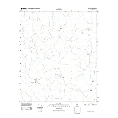
Editions of this 2011 Napoleon Map
2 editions found
Other maps of this area

1899 · Wedowee
USGS Topo · 1:125,000

1902 · Wedowee
USGS Topo · 1:125,000

1953 · Atlanta
USGS Topo · 1:250,000

1957 · Atlanta
USGS Topo · 1:250,000

1958 · Atlanta
USGS Topo · 1:250,000

1964 · Glenn
USGS Topo · 1:24,000

1964 · Roopville
USGS Topo · 1:24,000
1964 · Frolona
USGS Topo · 1:24,000
1969 · Roanoke East
USGS Topo · 1:24,000
1969 · Newell
USGS Topo · 1:24,000