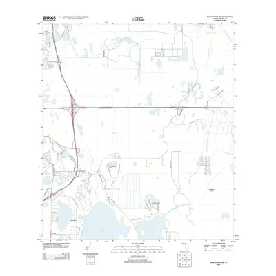
2012 Map of Narcoossee NW
USGS Topo · Published 2012About this map
Lake Hart and Lake Mary Jane anchor the southern portion of this landscape, where the headwaters and drainage networks of central Florida are clearly defined. The hydrological pattern is dominated by a complex system of creek and branch systems, including the Econlockhatchee River, Boggy Br, and Wide Cypress Br. These waterways cut through low-lying terrain characterized by landforms like Crosby Island and Little Bear Island, which emerge from the surrounding wetlands.
Find a feature on this map
55 named features on this map. Tap any name to fly to it.
Don’t see what you’re looking for? This feature index may not catch every label — zoom into the map to look around manually.
Map Details
Editions of this 2012 Narcoossee NW Map
This is the sole edition of this map. No revisions or reprints were ever made.
Other maps of this area

1953 · Narcoossee NE
USGS Topo · 1:24,000

1953 · Narcoossee SE
USGS Topo · 1:24,000

1953 · St Cloud North
USGS Topo · 1:24,000

1953 · Narcoossee
USGS Topo · 1:24,000

1953 · Pine Castle
USGS Topo · 1:24,000

1953 · Oviedo SW
USGS Topo · 1:24,000

1953 · Narcoossee NW
USGS Topo · 1:24,000

1953 · Bithlo
USGS Topo · 1:24,000

1955 · Orlando
USGS Topo · 1:250,000

1956 · Orlando East
USGS Topo · 1:24,000